We tend to go into hibernation on the hiking front over the winter months, for a variety of reasons: the (often) inclement weather, the limited daylight hours, not owning the kit (winter boots, crampons, etc.) required for most Munros in the winter, and the fact our car can’t really cope with anything other than a major road in wintery conditions.
You can, therefore, imagine my delight when the Pentland Hills Regional Park, just to the south of Edinburgh, offered up a blanket of snow and bright blue skies one day in early January. Here was something our car could cope with – and whilst micro-spikes or crampons would have made some sections easier, it was perfectly do-able without either of these.
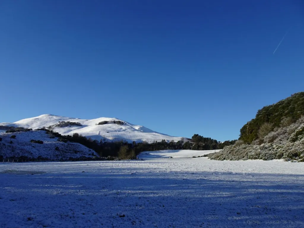
We decided to head to Flotterstone and do an out-and-back up Turnhouse Hill and Carnethy Hill, two peaks we were familiar with and which offer excellent views in all directions on a clear day.
We walked across the car park towards the little café, turning right to follow a dirt path through the trees (this runs parallel to the road) towards the footpath marked ‘Scald Law’. There were lots of families with sledges in tow; the proximity of the car park to some gentle slopes makes this a popular sledging spot amongst locals.
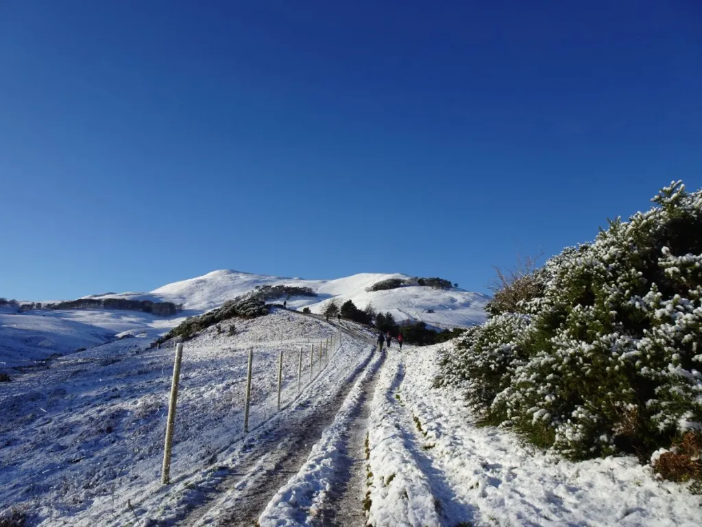
The path up Turnhouse Hill was well-trodden, which made for a straightforward ascent. As we were passing beneath some trees, Laurence spotted a phone in the snow. Luckily, the phone rang within minutes, and we were able to reunite it with its owner (who, as it turned out, was not much further up the path).
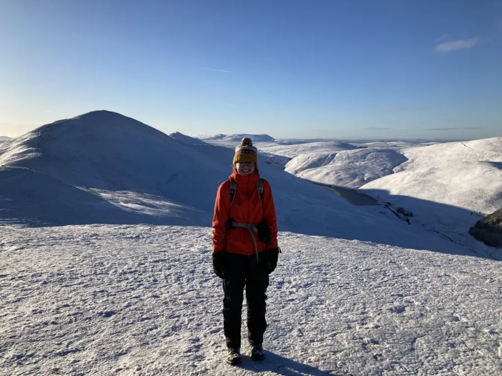
Despite the glorious sunshine, it was bitterly cold – so neither of us was tempted to stop for long at the top of Turnhouse Hill. We continued towards Carnethy Hill. I didn’t take many photos (for me) on this walk, as I found that whenever I took my gloves off to take a photo, my fingers quickly became incapable of operating my point-and-shoot camera. As a result, it has made figuring out exactly where some photos were taken on the route a bit trickier, and I’ve had to use the time stamps and my trusty paper map to help me!
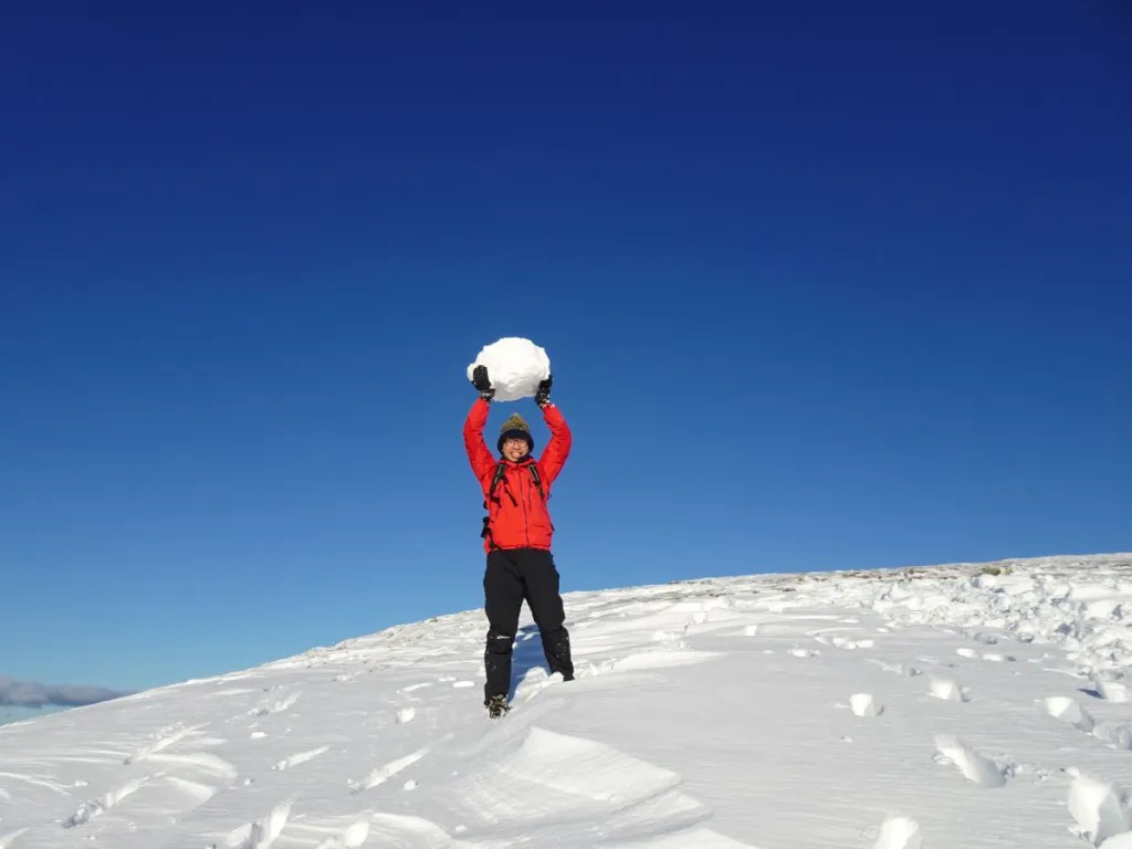
Laurence stopped to make an enormous snowball (below) and a snow angel on the descent towards the bealach.
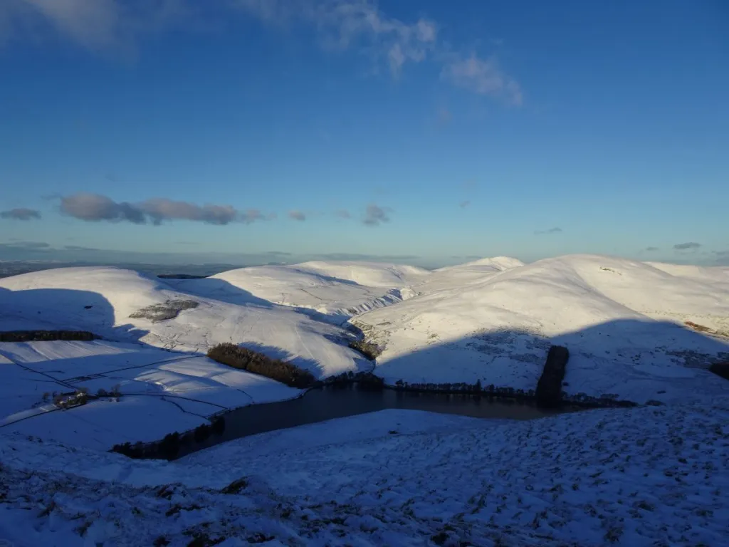
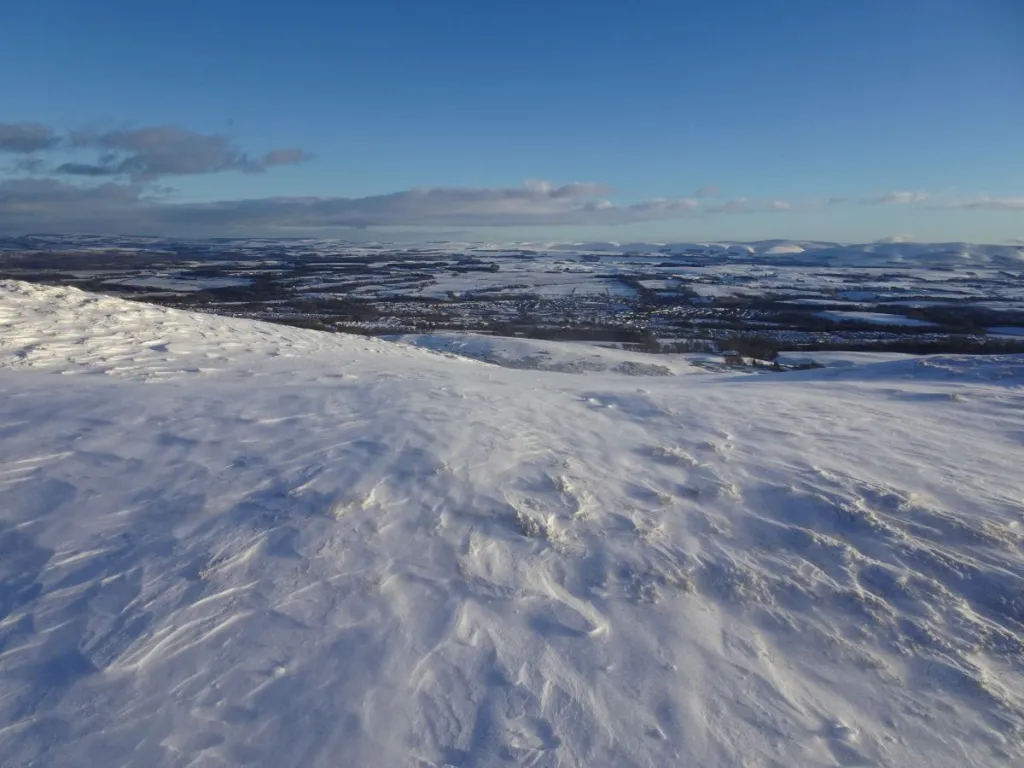
There were beautiful views of the Lammermuir Hills (below), an area of moorland which separates East Lothian from the Scottish Borders. We are yet to venture over that way, but I have earmarked some routes in Scottish Hill Tracks to investigate at some point.
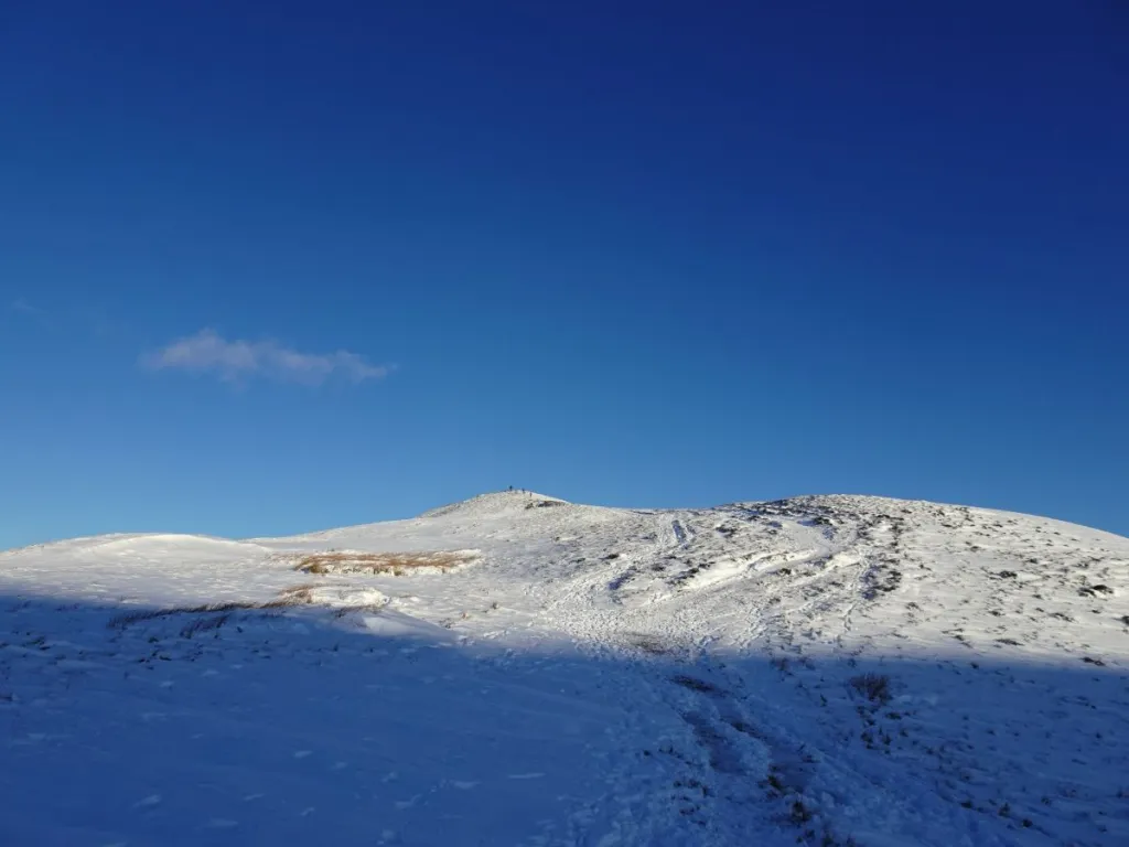
Carnethy Hill is crowned by a large circular cairn (below). We had uninterrupted views of the peaks to the north – Bell’s Hill, Harbour Hill, Capelaw Hill, Allermuir Hill, Caerketton Hill, Castlelaw Hill and Turnhouse Hill (which we’d just come from) – and the Firth of Forth.
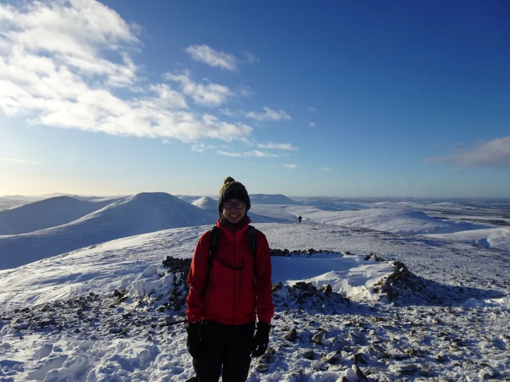
From left: Bell’s Hill (the lowest mound, with the woodland in front and to the right of it), Harbour Hill (with a small patch of trees on the eastern (right) slope), Capelaw Hill, Allermuir Hill (back centre), Caerketton Hill (two slightly lumpy summits, just right of centre), Castlelaw Hill (the rounded lump in front of Caerketton Hill) and Turnhouse Hill (the ridge on the right-hand side)
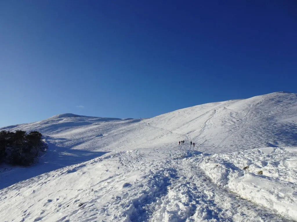
We’d only set out with the intention of doing Turnhouse Hill and Carnethy Hill, but with daylight on our side it seemed a shame not to make the most of it. We therefore decided to add on Scald Law, the highest peak in the Pentland Hills Regional Park (though not by much – it’s only 6m higher than Carnethy Hill).
There’s a fair amount of height loss between the two – about 130m – but the snow was preferable underfoot to the scree usually found on Scald Law’s northern slope.
We didn’t linger long at the summit, mindful that we had gone further than planned and needed to allow enough time to make it back off the hills before the daylight faded.
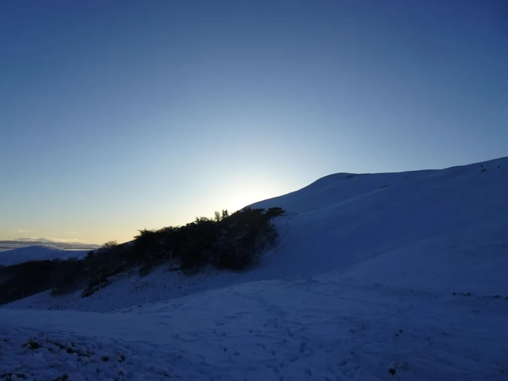
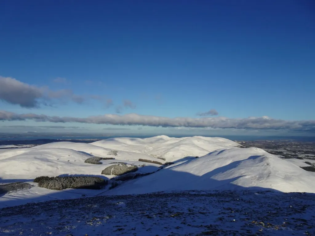
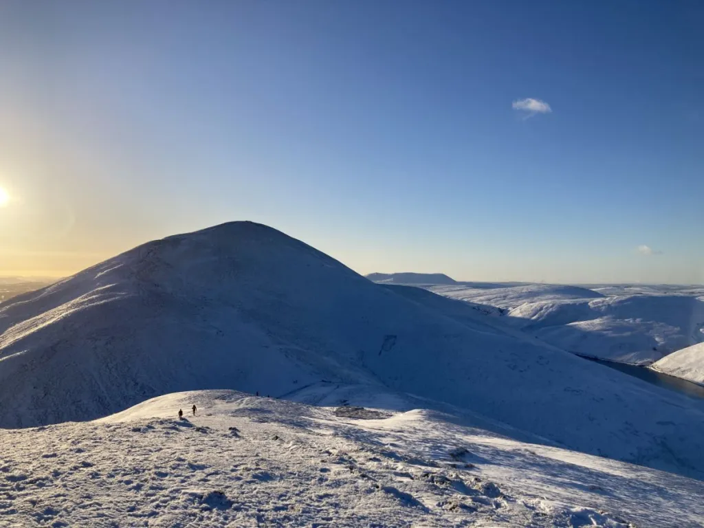
Usually, we descend to the valley floor from the bealach between Scald Law and Carnethy Hill, and return along the edge of Glencorse Reservoir (above). On this occasion, we decided retracing our steps along the hilltops was the better bet. As we descended from Turnhouse Hill, the sun was sinking towards the horizon.