When we first climbed Ben Nevis, back in 2018, we did so via the well-trodden Mountain Track. On this trip, though, we decided to try the route via the Càrn Mòr Dearg Arête (which comes with a bonus Munro, in the form of Càrn Mòr Dearg). Normally, I write detailed notes of our hikes in my notepad afterwards, but it appears that on this occasion I forgot to do so. Here’s hoping my memory does this hike justice!
We weren’t quite sure how quickly the North Face car park would fill up, so we opted for an early start. The early bird catches the worm… or the car parking space, as the case may be. We needn’t have worried; there were only a handful of cars in the car park by 08.30. For the first couple of kilometres, the trail climbs through dense forest. Keep your wits about you, as at times the path intersects with the Nevis Range’s mountain bike trails. We cleared the forest before too long, and were rewarded with views over Fort William and Loch Linnhe.
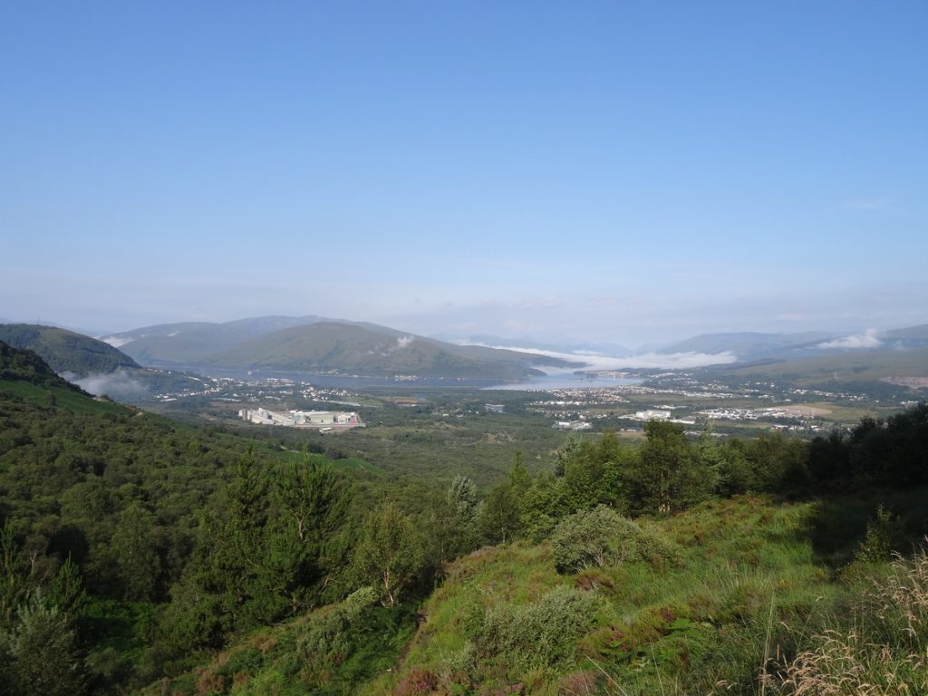
With the trees now behind us, we followed the gravel track beside Allt a’Mhuilinn towards Càrn Mòr Dearg. This goes all the way to the CIC hut at the foot of the Ben (i.e. not where we wanted to end up), so a kilometre or so later we peeled off to the left.
A hike in Scotland wouldn’t be complete without a muddy bog – and that’s what came next. I sank in and ended up with my calf decorated in mud. Soggy socks are not the best way to start a hike, but I digress. Fortunately, after the boggy section, a narrow path resumes towards Càrn Beag Dearg (1,010m).
Grey cloud swept in before too long, and it became noticeably cooler. When people say prepare for all four seasons in the Scottish hills, they’re not joking! From Càrn Beag Dearg, the path traces the edge of the ridge towards Càrn Dearg Meadhonach (1,179) before topping out at Càrn Mòr Dearg (1,220m, and Munro #35 for us).
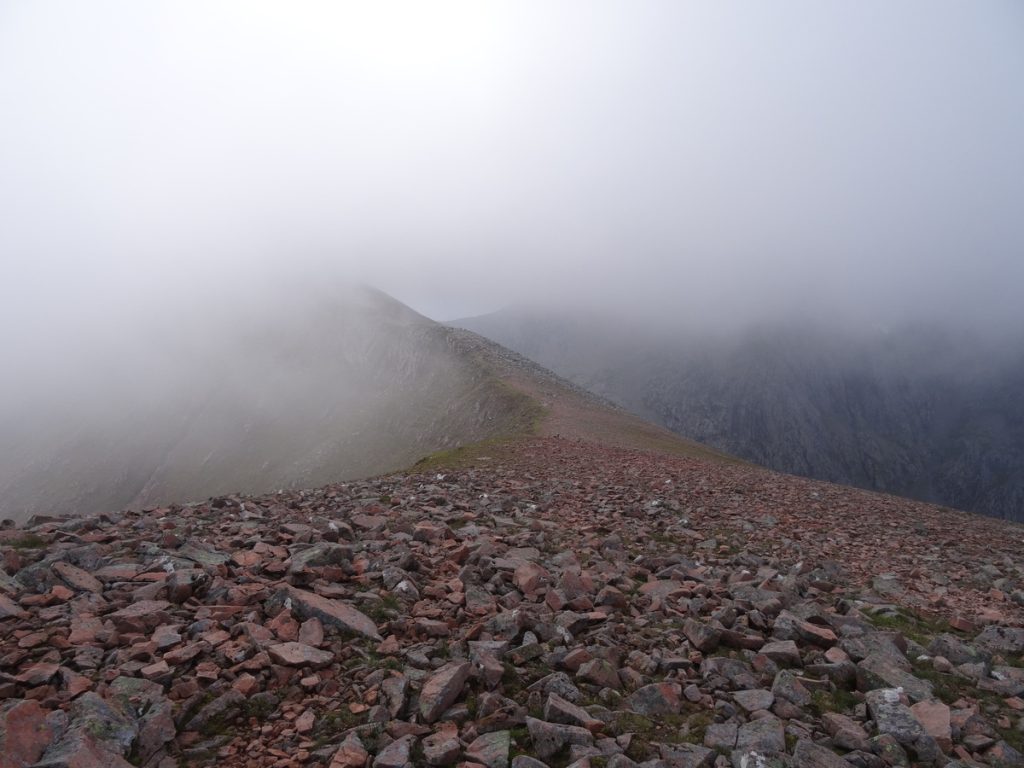
Càrn Mòr Dearg commands spectacular views of the Aonachs and the Mamores – and, of course, of Ben Nevis. An added bonus was that we had these views, for the most part, to ourselves. We saw perhaps six to eight other hikers between the start of our route and the summit – a stark contrast to the hordes hiking up the other side of Ben Nevis.
Although it looks like quite a narrow ridge from the photos, it’s an easy scramble. There’s also the option to drop down onto a parallel trail to the left, which runs just below the ridge, if you’d prefer to be less exposed.
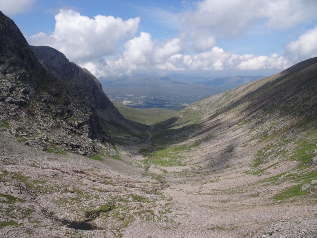
As we progressed along the Càrn Mòr Dearg Arête, views opened up to the south-east (below). We were reliably informed by a local that there are routes from that direction which can be linked with the Càrn Mòr Dearg Arête.
I thought the Càrn Mòr Dearg Arête would be the hard part. I was wrong. The scree-clad, steep slope of Ben Nevis was an absolute beast – but I’d still far rather go up it than down. I don’t recall exactly how long this section took us, but it can’t have been anywhere near as long as it felt (the combination of scree, a steep slope and no defined path really takes it out of my legs).
Our first trip to the top of the Ben in July 2018 yielded zero views. This time, the powers that be were on our side, and despite the grey clouds looming overhead we had clear views of the surrounding area. We found a quiet-ish spot on the summit plateau to enjoy our lunch and some snacks before heading down.
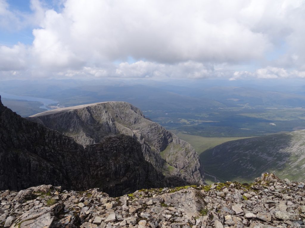
We followed the Mountain Track as far as Lochan Meall an t-Suidhe (more commonly referred to as the Halfway Lochan). At this point, instead of continuing down the Mountain Track into Glen Nevis, we headed north across the hillside to rejoin the path along Allt a’Mhuilinn to the car park.
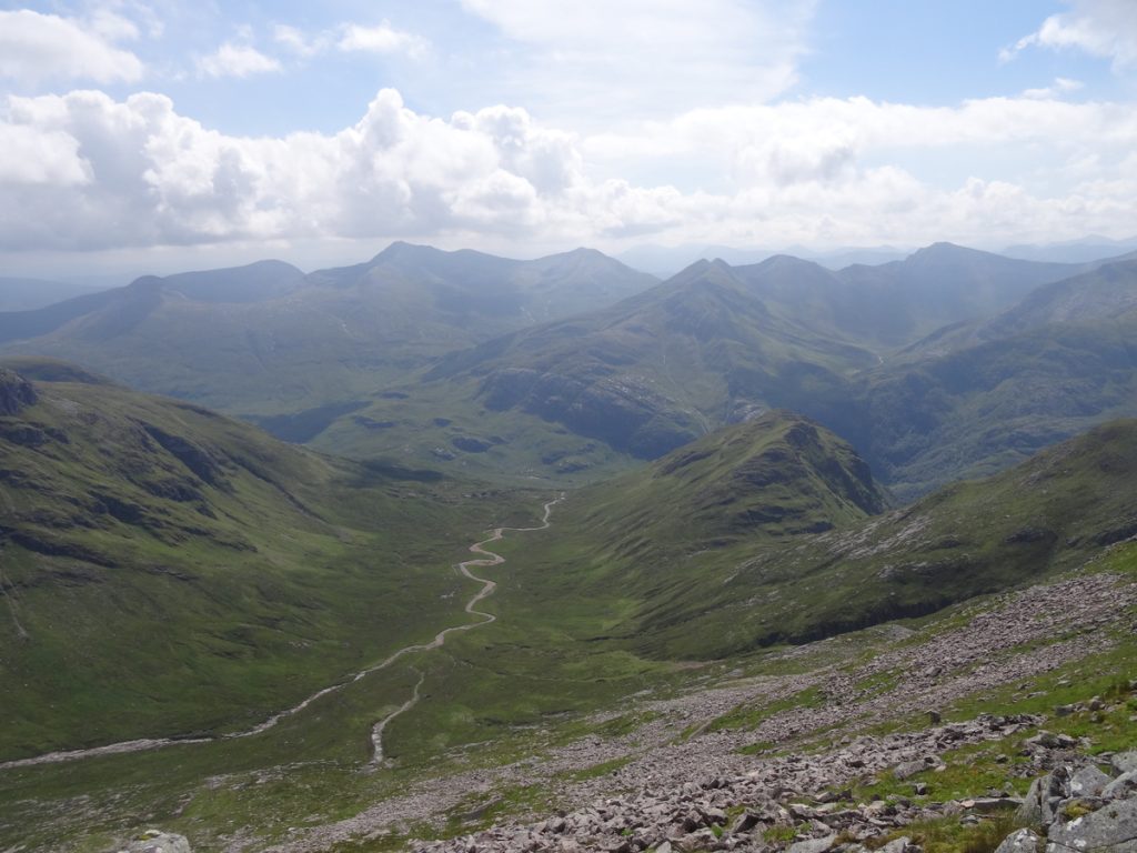
This stretch was rather boggy underfoot, but the abundance of bilberry bushes compensated for this (a definite perk of summer hikes in the hills). We also had a great view of the route we’d taken (below), which isn’t something you get on every trip.
We reached the car park around mid-afternoon, which left us with plenty of time to relax back at the campsite. Up to this point, I’ve shared lots of pictures of views – glens, peaks, ridges, lochs – on this blog. On this hike, though, I was struck by the amount of rubbish hikers had left strewn along the path between the summit of Ben Nevis and the Halfway Lochan: banana skins were a common offender, as were wet wipes and snack wrappers. I picked up what I saw (bagging it in my now-empty lunch bag), and this was the result:
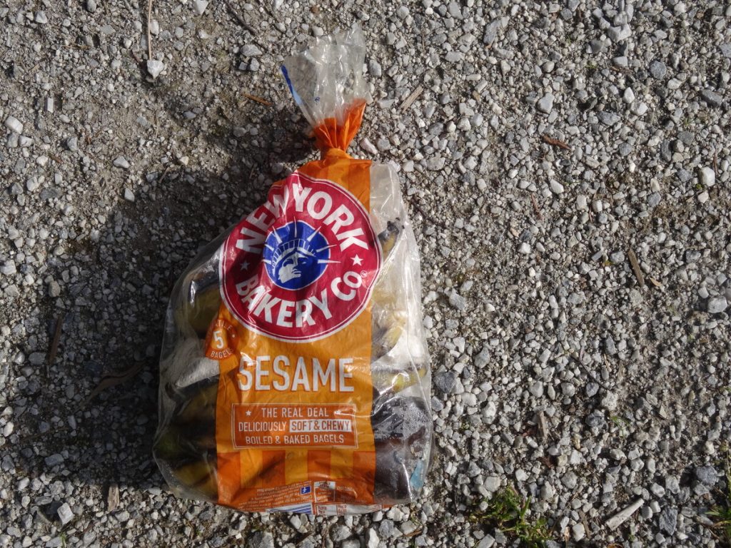
The John Muir Trust estimates that 130,000 people climb Ben Nevis each year. Most respect the outdoors; some don’t. Please be the person that leaves only footprints and takes only photos, so that these landscapes are here for others to enjoy when we have gone.
KNOW BEFORE YOU GO
- Parking | There’s space for twenty or so cars at the North Face car park near Torlundy; I’d recommend arriving early to avoid disappointment. There was no charge for parking in July 2022.
- Accommodation | We stayed at Glen Nevis campsite. We paid £29/night for a regular grass pitch with a car and two adults in July 2022; it’s on the steep side as far as camping goes, but the facilities are good and there aren’t many campsites in this area.
- Maps and guides | Weather conditions can change quickly in the hills. Take a copy of OS Explorer 392 with you – and know how to use it.
- Distance | 20.1km/ 12.6 miles; 1,470m of elevation gain.
- Misc. | Stock up on supplies in Fort William before your hike – there’s no café at the top here, like there is on Snowdon – and take your rubbish back down with you.