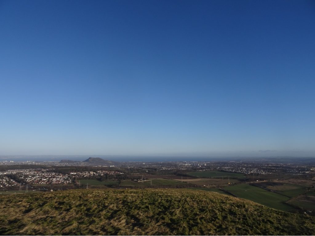
When I’m after a short hike, the loop from Swanston up to Caerketton Hill and Allermuir Hill is my go-to. Why? There’s a decent path (we’ll put the large bog between the two hills to one side for now; it’s not an issue in winter). From the top, there are expansive views across Edinburgh and the Firth of Forth. Plus, the slopes are home to some adorable Highland coos.
Assuming you’ve nabbed a parking spot at Swanston, walk towards the ‘Welcome to the Pentland Hills Regional Park: Swanston’ sign at the far end of the car park and follow the dirt track up the hill to join the Capital View Walk. You’ll pass a few whitewashed cottages which were built in the eighteenth century, and then one of Edinburgh’s many golf courses. Keep going up the hill; ignore the little path off to the right (which links Lothianburn Golf Club to Swanston Golf Club).
A wee bit further up, you’ll cross Swanston Burn. Take the path immediately to your left to stay on the Capital View Walk. When we ventured up in early January, we found this path unexpectedly icy and trickier to ascend than anticipated. (Though let’s be honest, the thorny gorse bushes which fringe this path certainly didn’t help matters.) Over the spring months – and into summer and autumn – it’s much easier going.
Top Tip: The full Capital View Walk is a circular route which links Swanston and Hillend Country Park via Caerketton Craigs and Lothianburn. If you’d like the skyline views without so much elevation gain, this 4km loop could be for you!

Around the kilometre mark, the path forks: follow the signs for Capital View Walk, which passes beneath Caerketton Craigs. Curiosity got the better of us, and on this particular trip we decided to investigate the “fort (rems of)” marked on our map. Whilst there are no real remains to speak of (or none that I could discern, at any rate), this is more than made up for in the expansive views towards East Lothian. On a clear day, from any high point or coastline in Edinburgh, you can make out the distinct conical shape of North Berwick Law.
Caerketton Hill beckoned. Don’t let this photo fool you: it might look like a gentle mound of a hill, but the slope is deceptively steep. Up at the top, it’s blowing a gale more often than not – and the 3,000-year-old Bronze Age Cairn provides little in the way of shelter. We didn’t stop for long.
From Caerketton Hill, the path zig-zags towards Allermuir Hill. Follow the fence line, and you can’t go far wrong. (Though if it’s rained recently, there’s a very boggy section and you’ll want to veer away from the fence at that point.)
Returning to Swanston from Allermuir Hill is straightforward: head back down Allermuir Hill, and when the path forks veer left (across Byerside Hill) and follow this downhill to rejoin the Capital View Walk. Retrace your footsteps along Swanston Burn, and you’ll be back at the car park before you know it.
KNOW BEFORE YOU GO
Parking | There’s a wee car park at Swanston (EH10 7DS), with space for c. 14 cars. If it’s full, there’s on-street parking in Swanston which’ll add a kilometre or so to your walk. The suggested donation is £2.
Maps and guides | OS Explorer 344 covers the Pentland Hills Regional Park. We followed route 10 from Rab Anderson’s The Pentland Hills.
Distance | 6.4km/ 1.4miles; 400m of elevation gain.
Misc.| Layer up. On a windy day, it feels positively Arctic in this part of the Pentland Hills Regional Park.