Living in Edinburgh, we’re fortunate that there are oodles of green spaces that are easily day trip-able: the Pentland Hills Regional Park, Lomond Hills Regional Park and Loch Lomond and The Trossachs National Park are all within an hour or so’s drive. Today, I’m going to take you on a virtual tour up Ben Venue to give you a taster of Loch Lomond and The Trossachs National Park.
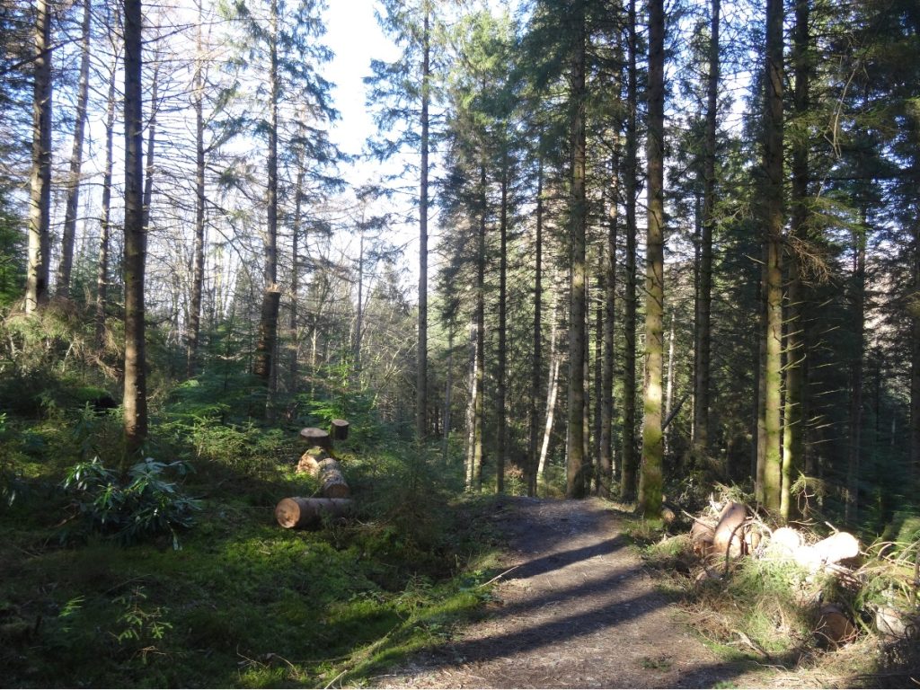
Ben Venue means “small mountain” in Gaelic, but don’t let the name fool you: beyond the forest, there are no waymarkers and the final section to the summit is pretty steep. We took the footpath (which then turned into a boardwalk) towards Achray Water. We then passed a small layby, and veered left onto a better-defined woodland track.
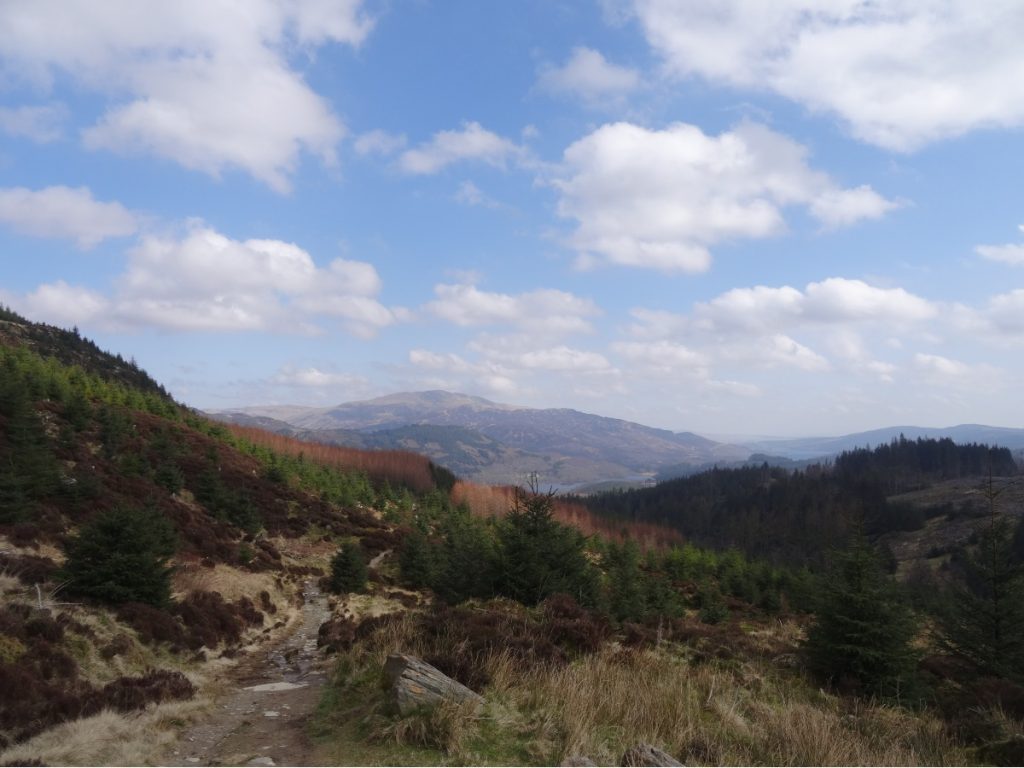
Whilst the forest was exceptionally peaceful, a downside of this route (at least in my books) is that there are no views to speak of for the first five or so kilometres. When we eventually cleared the treeline, we were treated to a lovely view towards Loch Achray and Loch Venacher.

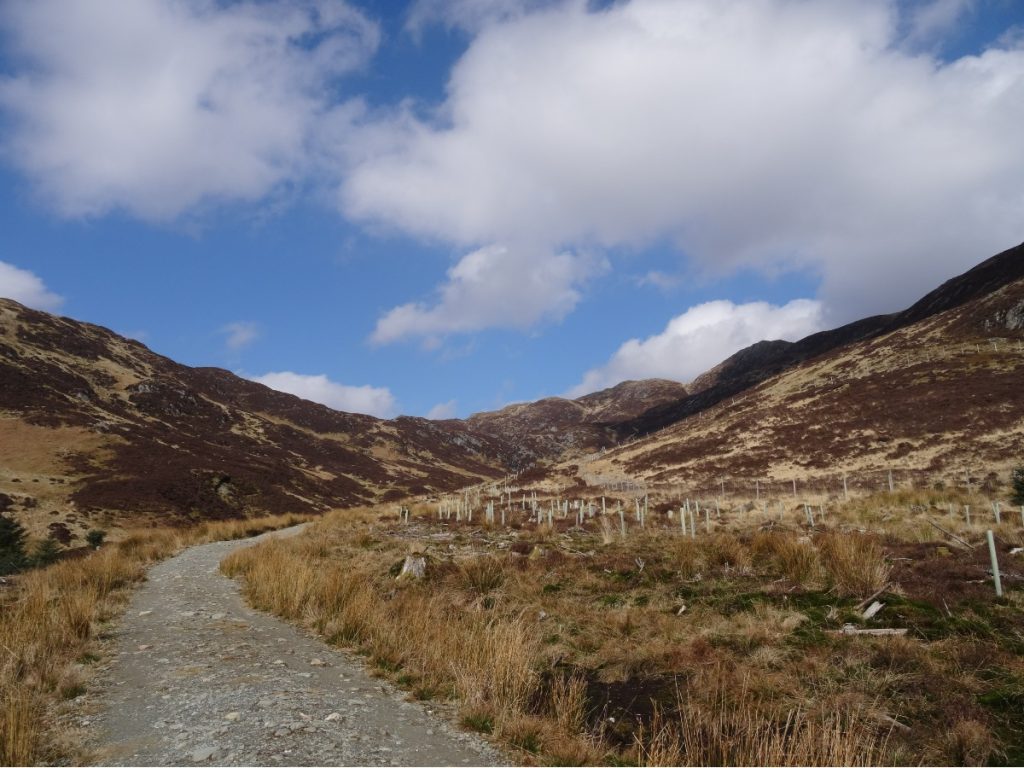
The gravel track snaked around the south-westerly side of Ben Venue (below), revealing views of Creag a’ Bhealaich. On the slopes of Ben Venue, a reforestation project is underway: dozens of tiny trees were spaced out across the hillside, their trunks sheathed in green plastic.

A little further on, the path splits: the bigger gravel track to the left goes towards Creag a’ Bhealaich, while the smaller track to the right climbs up towards the summit of Ben Venue. We pressed on. Half a kilometre or so up the path, a second cairn pointed us towards the top. From there, it’s a short but steep final stretch to the summit – but the views more than compensate for this.
We were lucky to be there on a clear day as there are stunning views from the top in all directions, but particularly looking towards Loch Katrine. For almost two centuries, Loch Katrine has provided residents of Glasgow (and the surrounding towns and villages) with a supply of fresh water. If you prefer flat walks, or are an Outlander fan, then there’s a path around the northern side of the loch which makes for a nice (sorry, English teachers) stroll.
We found a sheltered spot with a view over Loch Katrine, and tucked into our lunch. There were a few other hikers at the top, but it never felt busy or crowded. Although it was sunny it wasn’t particularly warm, so once we’d finished our lunch we headed back the way we’d come.
Alongside the path, there were dozens of pockets of water filled with frogspawn (and frogs too, bien sûr). Some frogs were carefully guarding their frogspawn. Others… not so much!
All too soon, we were back in the forest and the views disappeared from sight. I’m not going to lie: the last stretch through the forest feels l-o-n-g by this point, and we were very ready for a snack and a rest by the time we got back to the car.

KNOW BEFORE YOU GO
- Parking | There’s space for about twenty cars in the car park for Ben Venue. When we visited, the parking meter wasn’t working. (If that’s the case for you, I recommend taking a photo of the message displayed on the machine just to cover your back.) From memory, I think it was about a fiver for an all-day ticket. Bring coins, just in case the machine is being temperamental and not taking payment by card.
- Maps and guides | There are waymarkers for the first half of this route, but these shouldn’t be taken as a substitute for a map. OS Explorer OL46 covers this part of The Trossachs.
- Distance | 14.4km/ 9 miles; 688m elevation gain.
- Misc. | There’s a small café in The Trossachs, at the end of Loch Katrine, but that’s your lot in the way of amenities out this way. More often than not, we swing by Callander – where there’s a Tesco, Coop, various cafés and a brilliant chippy (Mhor Fish) – when we’re out this way.