Hare Hill is one of my favourite spots in the Pentland Hills Regional Park*. Gorgeous views? You bet. Easy to get to? Very much so. But the best bit about Hare Hill is its flexibility. If you want a straightforward out-and-back that’s an option, but I much prefer a circular route – and that’s where Hare Hill comes into its element as there are plenty of options. I’ve got a couple of routes to share (stay tuned for the second… it’s in the works!). First up: Hare Hill via Green Cleugh and Threipmuir Reservoir.
*I’ll admit that the fact Hare Hill was the very first hill we went up in the Pentland Hills Regional Park back in March 2021 just might be a contributing factor.
On a sunny Sunday at the tail end of February, Laurence and I set off for the Pentland Hills Regional Park. We secured one of the last parking spaces at Harlaw (quelle chance! I can still count on one hand the number of times we’ve managed this), pulled on our boots and set off along the dirt track towards Harlaw House Visitor Centre.

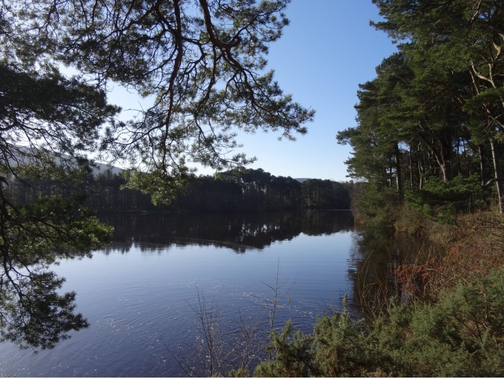
For the first couple of kilometres or so, the path skirts the edges of Harlaw Reservoir and Threipmuir Reservoir. When we hiked up Hare Hill last September, the water levels were much lower: Laurence went wild swimming, while I plonked myself on a camping chair on the ‘beach’ and read my book. Clearly a few months’ rainfall has balanced things out. (You can join the route at this point from Threipmuir car park, and the section I’ve just described will form the end of your loop.)
We passed through Redford Wood, then crossed Threipmuir Reservoir/Bavelaw Marsh at Redford Bridge. Roughly opposite Redford Wood is Red Moss of Balerno Nature Reserve, which is an easy detour but to this day I still haven’t explored it. Maybe one of these days I ought to.
Once across Redford Bridge, we followed the single-track road lined with beech trees up the hill. After four trips up Hare Hill, I still reckon this stretch is the steepest section of the entire route. We picked up a sign to Nine Mile Burn, and a little beyond that came to a gate on the left. This path is known as the Red Road, and can be followed all the way across Logan Burn to West Kip and on to Scald Law should you be so inclined.
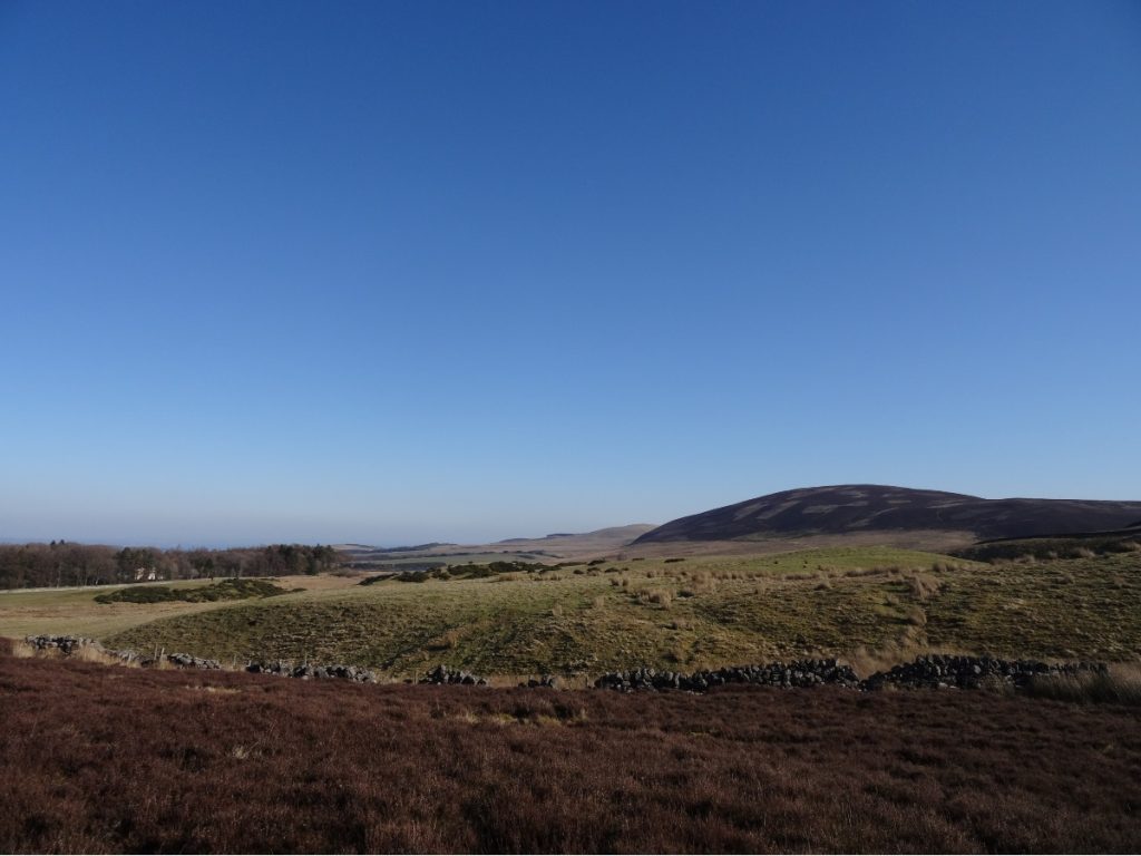
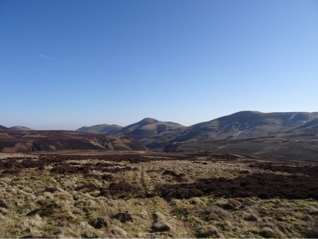
From the Red Road, there are expansive views to the south (above) and north (below).

We continued along the Red Road for a couple of kilometres. At Red Gate, we bade adieu to the clearly-marked path and entered sheep-track territory. There’s no obvious path to the summit, but if you keep the wall to your left and strike out at about a 45-degree angle from it you’ll reach it.
Hare Hill’s summit (below) is marked by several small cairns and a curious hollow, almost as if someone had scooped a chunk out of it. Geological curiosities aside, Hare Hill has a spot in the history books from World War 2. There’s a passing mention of it in my trusty guidebook to the area The Pentland Hills, so I turned to Google for more information.
On the night of the 24th/25th March 1943, a German Luftwaffe Junkers JU 88A-14 – the fastest of all the bombers in Germany’s arsenal – was on a mission. Their target was Leith Docks, Edinburgh’s bustling port on the Firth of Forth. Dense fog led them to abort their mission, and drop their bombs onto farmland on the outskirts of the city before turning for home.
They never made it. Whether it was down to the poor weather, unfamiliarity with the aircraft (as this article suggests) or something else entirely, the aircraft ploughed into the side of Hare Hill. All four crew members died. A couple of hundred metres below the summit lies a memorial post, surrounded by fragments from the wreckage, which we attempted to find on our first trip to no avail. It does exist – post-hike Googling led me to this post by Just Frances – so one of these days I will have another shot at locating it.

We left the summit behind, and followed a sheep’s track off the top until we picked up a wide grassy track leading towards Green Cleugh. We often muck this bit of the route up, as although the wide grassy track is very distinct the numerous sheep tracks through the heather to it are anything but.
Green Cleugh certainly lives up to its name in the spring and summer months, so perhaps that’s how its name came about. Had it been discovered during the winter months, I wouldn’t have rated its chances. Brown Cleugh is more apt at that time of year and, let’s be honest, that doesn’t have quite such a nice ring to it.
We followed the track through Green Cleugh for a little over half a kilometre, and then turned right to join the track which runs along the slopes of Black Hill. (If you parked at Threipmuir, there is the option of a shorter route (c. 8km) at this point. Remain on the main path, which veers round to the left (see photo below), pass Bavelaw Castle and return to the car park via the single-track road lined with beech trees.)
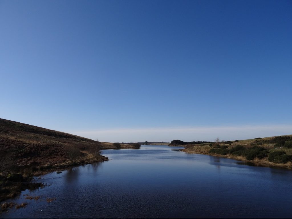
We could just about make out the Forth Bridges in the haze on the horizon (above). We continued along the path for a couple of kilometres, and then crossed the little bridge over Threipmuir Reservoir.
On this occasion, we chose to turn right and take the woodland path back to Harlaw car park. (Side note: I wouldn’t take this path if there had been heavy rainfall, as the path is very close to the edge of the reservoir at points.) You could equally turn left and follow the path along the banks of the reservoir to return to the car park.

KNOW BEFORE YOU GO
Parking | There are car parks at Harlaw and Threipmuir, though getting a spot can be a bit hit-and-miss depending on what time you arrive. Suggested donation is £2. If you’re out of luck, there’s on-street parking in the nearby village of Balerno (but please be considerate to local residents and don’t block driveways).
Maps and guides | OS Explorer 344 covers the Pentland Hills Regional Park. A shorter route (8.5km) is outlined in The Pentland Hills by Rab Anderson (route 55).
Distance | 12km/ 7.5 miles; 298m elevation gain.
Misc. | There are Portacabin toilets outside Harlaw House Visitor Centre (the building itself is closed, and is earmarked for use by the Pentland Hills Regional Park’s new Ranger Service). Otherwise, the nearest amenities can be found in the villages of Balerno and Currie.