Six (!) years ago, we passed beneath Ben Lomond while hiking the West Highland Way from Milngavie to Fort William. During my February half-term, Laurence booked one day off – and with a clear forecast on the cards, we decided to venture over to Ben Lomond.
It didn’t get off to the best of starts: with half a mile or so to go, the ‘low tyre pressure’ warning light flashed on the dashboard. We made it to the car park (phew!), pulled into a space and set about trying to change the tyre. If only it were as easy as the YouTube videos made it seem. We jacked the car and loosened the bolts, but despite our best efforts the tyre simply wouldn’t budge. Thank goodness for Green Flag, is all I’ll say. We had to wait a couple of hours for someone to come up from Glasgow, but it was definitely better to get the car sorted in daylight and the spare wheel on before setting off on our hike.
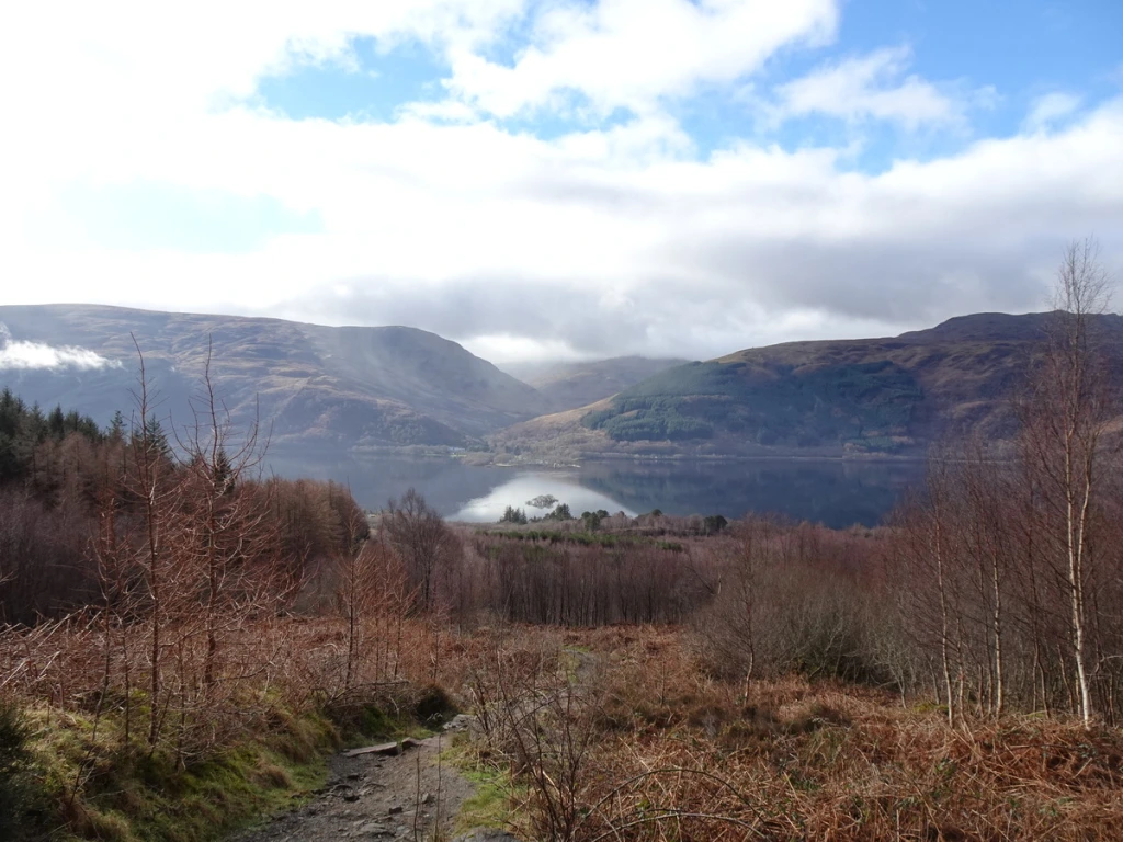
Car fixed (and a mental note made to purchase a rubber mallet for removing tyres, in the event of a future puncture), we set off. Whilst the route is a straightforward out-and-back, there’s a fair amount of elevation gain (950m). The first section of the route passes through a forested area on the eastern side of Loch Lomond (below). Conifers gradually give way to ferns, and within forty-five minutes or so we had reached the open hillside.

At this point, there is a gate leading onto the hill. A small sign provides a map of the route (and surrounding summits), a reminder to respect livestock grazing on the hillsides and information on how visitors can help reduce footpath erosion. (It took the National Trust for Scotland fifteen years to reduce the erosion scar on Ben Lomond from 10-25m to the 1.5m wide path you walk on today.)
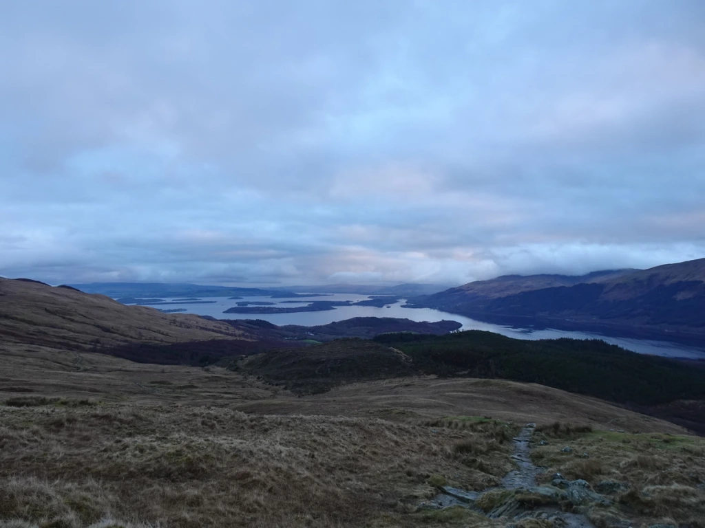
Every so often, we stopped to admire the view over Loch Lomond behind us. (If you’re after a hike with less incline but equally stellar views of Loch Lomond, I would recommend Conic Hill, which is accessible from Balmaha.)
Further up, the path disappeared beneath the snow. This was a little slippery in places, which slowed us down a wee bit.
As we approached the first of several false summits, the clouds rolled in. Fortunately for us, the clouds came and went as we chatted with another hiker at the actual summit, giving us brief views of the lochs and glens beneath us.
As we made our way back down the hillside, the light was fading. We made it back to the car with a little time to spare before sunset. Munro #38: complete!

While Laurence drove us back to Edinburgh on our spare tyre, I spent the journey making calls to garages to arrange a puncture repair, as we needed the car the following day to meet my parents in Appleby. I hope our car isn’t making a habit of puncturing in inconvenient locations…
KNOW BEFORE YOU GO
- Parking | Plug ‘Ben Lomond Car Park’ into Waze (or another app of your choice) and it’ll get you there. Continue north along the eastern shore of Loch Lomond from Balmaha until you reach the end of the road. Be considerate of other road users, and don’t block passing places on the single-track road. There’s a reasonable amount of space in the car park, with room for thirty or so cars.
- Maps and guides | Take a copy of OS Explorer OL39 Loch Lomond North with you, and know how to use it. Weather conditions can change quickly in the hills, especially in winter. If at any point you feel as though you’ve taken on more than you can manage, it is safer to turn back than press on and run into difficulties.
- Distance | 13.2km / 8.1 miles; 950m elevation gain. This took us approx. 4hrs 40 (inc. 25 mins of stoppage time).
- Misc. | Pack plenty of water and snacks with you, as there’s little in the way of amenities here. Balmaha is probably your best bet for post-hike refreshments: there’s a café (which serves excellent ice cream) and a pub (which we haven’t yet tried, but it looked busy which is generally a promising sign…).