Together, Rùm, Eigg, Muck and Canna (plus a few even smaller islands and a handful of skerries) make up Scotland’s ‘Small Isles’, sandwiched between the Isle of Mull and the Isle of Skye. The next leg of our trip was a three-day trip to Rum – which almost fell apart before it had even started.
Let’s rewind. We started the car, and set off towards Salen. Barely five minutes later, a warning message pinged on the dashboard: ‘loss of pressure in rear left tyre’. Uh-oh. We had a puncture (our first, on Mull of all places, and on a Sunday to boot). And so began a cycle of driving a few miles, pumping up the tyre, driving a few more miles and so on and so forth until we reached the ferry terminal in Craignure (which mercifully was only fifteen miles away, on decent roads). While we waited for our ferry, we rang around all the garages in Oban that were open on a Sunday. Nobody could fix it that day.
If we wanted to make it to Rùm, our only option was to crack out the manual and swap out the punctured tyre for the spare. So we boarded the ferry to Oban (on the basis it was better to be on the mainland than on an island) and, after double-checking that Kwikfit definitely couldn’t do it that day, set about changing it ourselves. Onto the pavement went the entire contents of the car. Out came the manual.
It quickly turned out to be rather more difficult than the RAC’s how-to video would suggest. Fortunately for us, two locals came to our rescue and helped us get the old tyre off and the spare tyre on. (Thank you, Glenn, for saving our trip to Rùm.)
Back on the road, and Fort William-bound. We had a decent night’s sleep at the Travelodge, and set off early the following morning for Mallaig. (The back-up plan, had the spare tyre not been up for the job, was to catch the train to Mallaig on Monday morning and then cycle back from Mallaig to Fort William on the Wednesday afternoon, due to a Network Rail strike… less than ideal with rucksacks full of camping gear!)
We arrived in Mallaig with plenty of time before our 10.20 ferry to Rum. Somewhat confusingly, the parking meter carried the message ‘invitation to pay’ along with a description of the fees. We decided a one-month local season ticket via RingGo was our safest bet (and at £10.50, it was fractionally more economical than paying £4 per 24 hours).
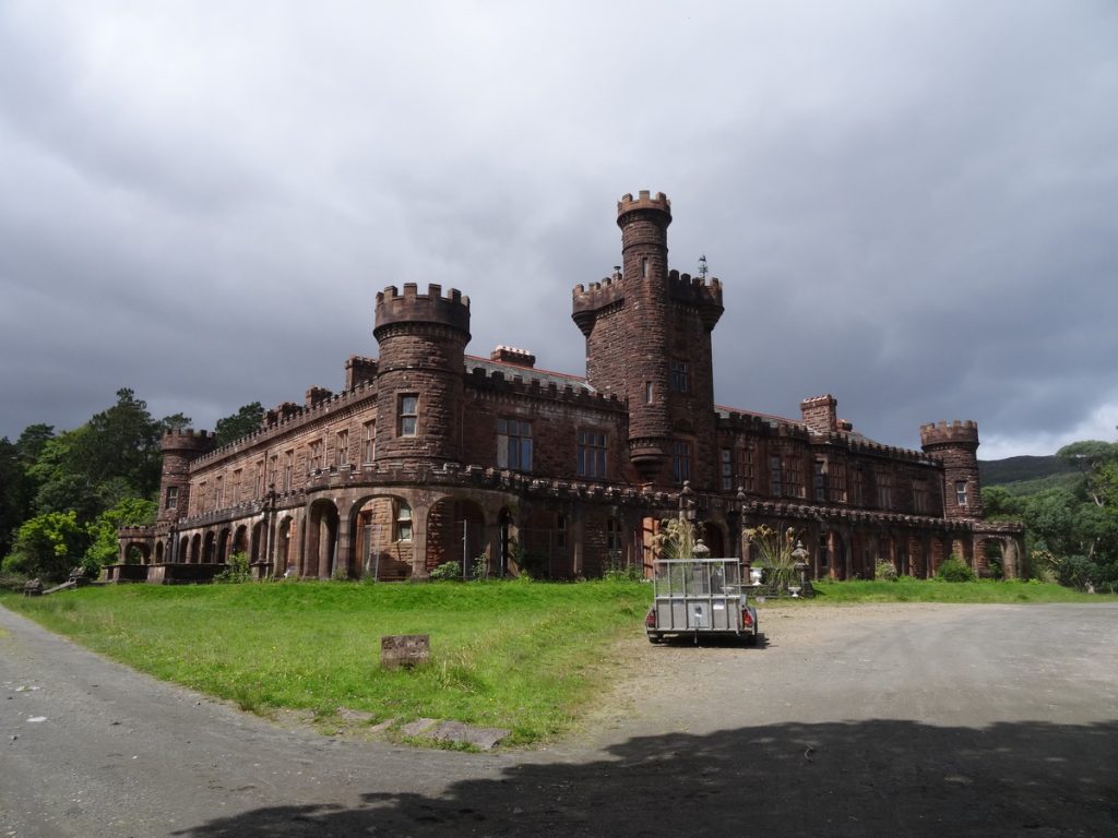
Two-and-a-half hours of choppy seas later, we arrived on Rùm. Before setting off on our hike, we detoured into Kinloch, the hamlet which all forty of the island’s residents call home. En route, we passed the sprawling Kinloch Castle.
A little further up the road, we came to the Isle of Rùm General Store, where we stocked up on some supplies for our hike and treated ourselves to an ice cream.
Kinloch to Dibidil Bothy
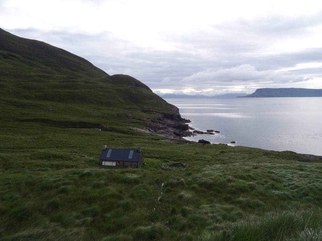
Then, we set off for Dibidil Bothy on the east coast of Rùm. Grey clouds overhead, boggy paths underfoot. We followed the undulating path across the hillside, crossing a few small streams along the way; there are some nice views across to Eigg and Muck, though better views awaited from the Rùm Cuillin. Eventually, Dibidil Bothy came into sight. Standing between us and Dibidil Bothy, though, was Dibidil River.
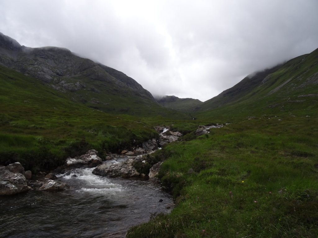
Doesn’t look too hard to cross, does it? A picture doesn’t do this river crossing justice – the river was deep in places, fast-flowing everywhere and the rocks were oh-so-slippery. We spent a fair bit of time walking alongside it, up and down the bank, trying to establish the best place to cross. I’m not sure there really is a best place – probably just a number of ‘this’ll do’ places. Anyway, we made it across (albeit with slightly soggy feet, socks and boots) and that’s what matters.
Distance | 12.7km/ 7.9 miles; 330m of elevation gain. This took us just shy of four hours (including photo stops, snack breaks, etc.).
Dibidil Bothy to Kinloch, via the Rùm Cuillin
We left Dibidil Bothy at 08.30. Laurence optimistically thought we’d be down in Kinloch by 14.00; I reckoned nearer to 16.00. We were both hopelessly off the mark.
First up: Sgùrr nan Gillean. We should have learnt our lesson from Cruach Àrdrain, but evidently hadn’t: steep grassy slopes are Very Hard Work. This one had some boggy patches thrown in too for good measure, and it took us a good couple of hours to reach the top. (I should probably add that there isn’t a defined path… so it’s very much a make it to the top any which way you can.)
Fortunately, once we reached the ridge above Nameless Corrie it was easier going. We followed the crest of the ridge towards Ainshval, stopping for photos and sugar-fixes along the way.
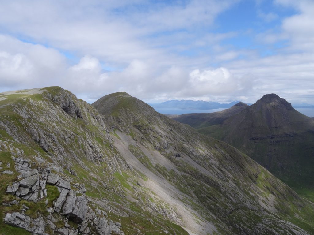
If you’re after a get-up-and-stay-up type route, this most definitely isn’t it. Although none of the peaks are particularly high, between Ainshval and Hallival it’s an unforgiving, constant up-down type route with no defined footpath for much of it. We found it more tiring than expected.
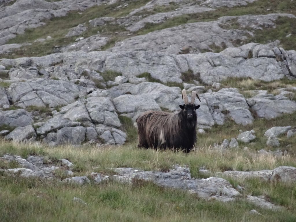
From Ainshval, we followed the path (if a squiggle of scree the width of a boot qualifies as that) down towards Bealach an Fhuarain. We spotted a few deer picking their way across the hillside, alongside some (unexpected) mountain goats grazing.
Next: Trollabhal. We followed a couple of other hikers up the scree to the summit, which is a jumble of boulders, jubilant at the prospect of reaching the half-way point of the hike.
We descended to Bealach an Fhuarain (from where there is a lovely view down Glen Dibidil and across the Sound of Rùm to Eigg), and then headed up Askival. Loose scree and slimy, moss-covered rocks combined to make this a little more slow-going than we’d have liked.
Grey clouds arrived at the top not long after we did. We plonked ourselves down by the cairn to enjoy the view (and a snack) and ponder our descent.

Getting down Askival turned out to be considerably trickier than getting up it. We heeded the advice in our guide book and stuck to the eastern side of Askival’s Pinnacle, gingerly negotiating our way down the boulders. On two occasions, we resorted to taking our rucksacks off. One of us would wiggle over the edge of the boulder and drop down, the other would pass the bags down and then follow. I don’t seem to have any photos of this section of the hike – most likely because I was utterly terrified of slipping.
Anyway, we made it onto firmer ground (above) and pressed on towards Hallival, the final peak of the Rùm Cuillin. There were deer all over the place, oodles of Manx Sheerwater burrows (watch your step!) and a family of goats. We enjoyed a handful of Percy Pigs at the top of Hallival, and then made our way down the boulder-strewn Bealach Bairc-mheall. We were both hugely relieved when the boggy trail turned into a proper gravel track – it made the last little stretch so much easier.
I still can’t explain what happened next: one moment, a swarm of midges was in my face… and the next, my glasses were somewhere in the greenery beside the path. In my haste to flick the midges away from my face, I’d flicked my glasses off instead. Less than ideal, when your eyesight is sub-par like mine. It took us a good ten minutes of wandering up and down that small stretch of path to locate them (thanks to Laurence’s torch). Note to self: always pack the spare pair of glasses.
By the time we arrived at Isle of Rùm Campsite, it was not 14.00 as Laurence had hoped for, not 16.00 or so as I’d predicted, but 21.45. Wild.
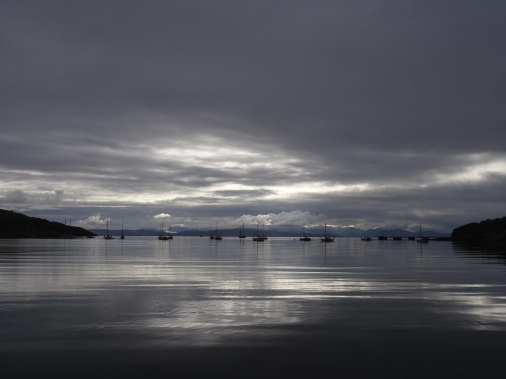
Distance | 18.2km/ 11.4 miles; 1,215m of elevation gain. Walk Highlands estimates 12-14 hours (their route is a full circuit from Kinloch, covering this and the previous day’s hike in reverse); it took us almost eleven hours from Dibidil Bothy to Kinloch.
Kinloch to Kilmory Bay (and back to Kinloch)
As the ferry back to Mallaig wasn’t until late afternoon, we had time for a walk to Kilmory Bay. Researchers have a base at Kilmory Bay to study the local red deer population, so there’s a decent dirt track from Kinloch to Kilmory Bay. En route, we stopped to chat to a group of walkers who had hiked the Rùm Cuillin a few years ago and described it as a route ‘you’re pleased you’ve done but don’t need to do again’. I’d be inclined to agree!
Kilmory Bay was incredibly peaceful; it was just us, the sea lapping against the shore and dozens of red deer. We spent a fair amount of time watching the deer from a distance, and then returned the way we had come.
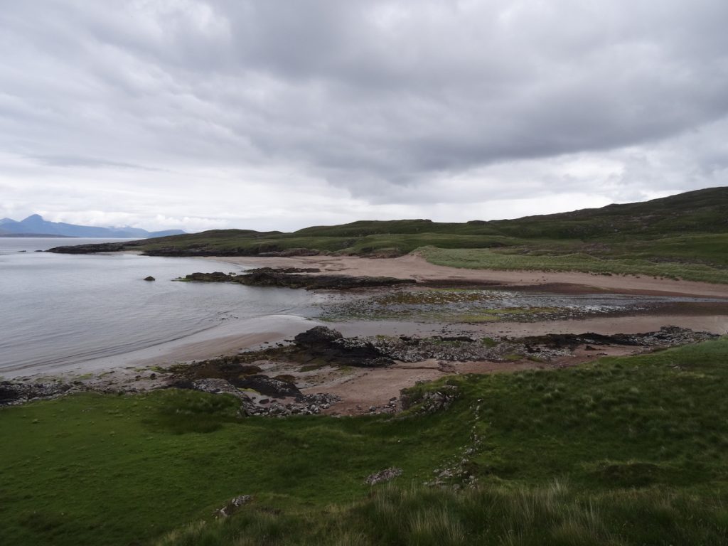
Distance | 16.4km/ 11.4 miles; 219m of elevation gain. Compared to the previous day’s traverse across the Rùm Cuillin, this felt gloriously flat. Check access in advance if you’re visiting in the autumn; sometimes, the paths around Kilmory Bay are closed during the deer rut.
We spent our last hour or so on the island sheltering from the rain in the otter hide (spoiler: we didn’t see any), not far from where the ferry departs. Crumbling remains of stone cottages abandoned during the Highland Clearances were dotted across the woodland, nature slowly but surely reclaiming them.
KNOW BEFORE YOU GO
- Ferry | Caledonian MacBrayne operate ferries to the other Small Isles on alternate days, giving you three days/two nights on one of the islands. You used to have to phone the Mallaig office to reserve a space on a ferry to Rùm (or indeed any of the Small Isles), but it looks from their website as though you may now be able to book online at http://www.calmac.co.uk. We paid £18.80 (return) in July 2022 for two adults; there’s no extra charge for bikes. Check their Twitter feed (@CalMacFerries) for regular service updates. There’s also a summer service from Arisaig; I’ve not used it, but you can check timetables and book online at arisaig.co.uk/islandferry.
- Parking | Your best option is Mallaig West Pay Car Park, which is a five-minute walk from the ferry terminal. A one-month season ticket on RingGo cost £10.50 in July 2022.
- Accommodation | There are a handful of options in Kinloch, Rùm’s only settlement. We spent our first night at Dibidil Bothy (free, but remember to follow the Bothy Code and leave it as you found it – or better – for the next hiker) and our second night at Isle of Rùm Campsite (£15 for two adults in July 2022).
- Maps and guides | If you’re planning to conquer the Rùm Cuillin, bring a copy of OS Explorer 397 with you. I also had photos of the ‘Dibidil Bothy and the Rùm Cuillin’ route outlined in Scottish Bothy Walks on my phone, which came in very handy when descending Askival. Scroll back up to find distances/elevation gain for each of the hikes we did.
- Misc. | You’ll find lots of useful information to help you plan your trip on www.isleofrum.com. The small but well-stocked Isle of Rùm General Store is located in Kinloch, and its opening hours coincide with the ferries; cash preferred.