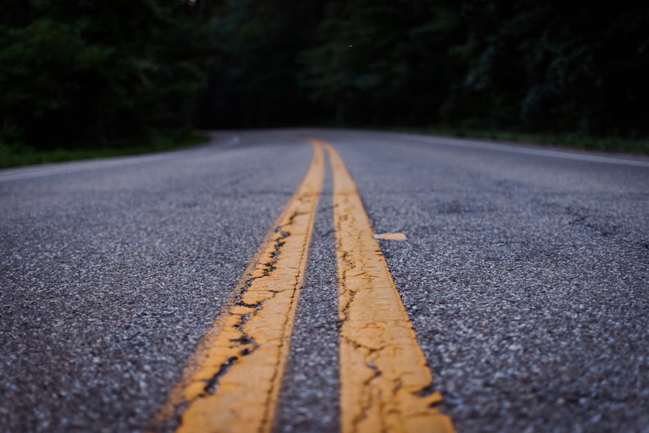
How long does Australia actually take to drive? Most people guess wrong by a week or more. The mainland is roughly the same size as the contiguous United States — and unlike the US, the population clusters tightly along the coasts while the interior sits nearly empty for thousands of kilometres at a stretch.
That scale shapes every decision: which route, which vehicle, which season, how much fuel to carry. Get those wrong and you’re not just inconvenienced — you’re stranded.
Here’s an honest look at the routes worth your time, what they actually require, and where the standard travel advice falls short.
The Five Routes That Define Australian Road Tripping
Australia has dozens of named touring routes, but five have earned their reputation through genuine scenery, infrastructure, or the kind of remote driving that changes how you think about distance. The table below puts them side by side on the metrics that actually matter for planning.
| Route | Distance | Road Surface | Minimum Days | Best Season | 4WD Required |
|---|---|---|---|---|---|
| Great Ocean Road (VIC) | 243 km | Sealed | 3–4 days | Sep–Apr | No |
| Gibb River Road (WA) | 660 km | Mostly unsealed | 7–10 days | May–Sep | Yes |
| Nullarbor Crossing (SA/WA) | ~1,200 km | Sealed | 4–5 days | Mar–Nov | No |
| Red Centre Way (NT) | 1,100 km loop | Mix (part unsealed) | 5–7 days | Apr–Oct | Recommended |
| Pacific Coast Route (NSW–QLD) | ~1,800 km | Sealed | 10–14 days | Year-round | No |
One note on the minimum days column: these are true minimums for someone who drives efficiently and skips little. They are not recommended durations. The Gibb River Road, for instance, rewards travellers who take 12–14 days. Ten days means you’re driving through it. Twelve means you experience it.
What the distance numbers don’t tell you
The Gibb River Road’s 660 km takes longer than some 1,500 km sealed highway drives. Corrugated dirt at 80 km/h feels like driving over a washboard with flat tyres. Real travel speed on bad corrugations is 40–60 km/h, and that’s before water crossings or detours to gorges that sit 20–30 km off the main track.
Where to find reliable current road conditions
Main Roads Western Australia (mainroads.wa.gov.au) and the NT Road Report (ntlis.nt.gov.au) update conditions regularly. Hema Explorer, the navigation app built specifically for Australian off-road travel, overlays satellite data on 4WD tracks and is worth the $29.99/year subscription before any remote route. The campsite database alone justifies the cost.
The Great Ocean Road Deserves Less Hype Than It Gets
Almost every Australia road trip list starts here. The honest version: the Great Ocean Road is good, not great, and it’s frequently recommended for the wrong reasons.
The Twelve Apostles — the landmark everyone photographs — are striking for about 45 minutes. Then you’ve seen them. The actual drive between Torquay and Allansford takes three days if you stop properly, and the first half (Torquay to Apollo Bay) genuinely earns its reputation with cliff edges, surf beaches, and rainforest detours through the Otway National Park. The second half, from Princetown to Warrnambool, is where most travellers slow down and stare at limestone stacks that look nearly identical from one lookout to the next.
What makes it worth doing anyway
Accessibility. It’s the only route on this list that works in a standard sedan, requires zero camping experience, and starts two hours from Melbourne. For international visitors with limited time, that combination is hard to beat.
Base yourself in Apollo Bay for one night — the YHA Apollo Bay runs from around $35/night for a dorm bed, and the town has actual restaurants rather than roadhouse food. Avoid Torquay accommodation entirely; it’s priced for Melbourne weekenders and isn’t close to the interesting sections of the road.
One detour most drivers skip entirely
The inland route through the Otway Ranges via Turtons Track to Beech Forest beats almost anything on the coastal stretch in terms of raw scenery. Old-growth mountain ash, tree fern gullies that look prehistoric, near-zero traffic. It adds 90 minutes. Most guides don’t mention it because it doesn’t photograph as dramatically as the Twelve Apostles — which says more about the guides than the road.
Driving the Gibb River Road: The Route That Earns Its Reputation
The Gibb River Road runs 660 km across the Kimberley in Western Australia, connecting Derby to Kununurra through some of the most geologically ancient country on the continent. It is open roughly May through September. Outside those months, the wet season turns minor water crossings into legitimate hazards.
You need a 4WD. Not “recommended” — required. Standard rental car terms explicitly exclude the Gibb, and breakdown recovery in the Kimberley costs tens of thousands of dollars. Travellers who take standard vehicles anyway occasionally make national news for the wrong reasons.
What a realistic 10-day Gibb River Road plan looks like
Days 1–2: Derby to Windjana Gorge — Devonian reef fossils in the gorge walls, freshwater crocodiles visible in the pools, 145 km from Derby. Day 3: Tunnel Creek, a 750m walk through a limestone cave with a stream running through the floor. Days 4–5: Mornington Wilderness Camp, run by the Australian Wildlife Conservancy at around $250/night all-inclusive. The wildlife and gorge access justify the price. Days 6–7: Bell Gorge, widely considered the single best swimming gorge on the entire route — tiered waterfalls into a rock pool with no other infrastructure around it. Days 8–9: El Questro Station, 700,000 acres of private wilderness with gorge walks from straightforward to genuinely technical. Day 10: drive to Kununurra.
Fuel stops are spaced 200–300 km apart. Carry 20+ litres extra as a minimum. The Toyota LandCruiser 200 Series with its 138-litre fuel tank is the standard-bearer for this route, though a well-maintained Prado or 4WD HiLux handles it fine with a long-range tank fitted.
Campervan versus station lodge on the Gibb
Apollo Campers operates a 4WD campervan specifically rated for the Kimberley — their Adventure Camper starts around $180/day in peak season. That’s a real option if you want to self-cater and camp freely. The limitation is that campervans with standard ground clearance can’t reach several of the better gorge detours, which require a shorter-wheelbase 4WD. If the gorges are your reason for going — and they should be — either hire a dedicated 4WD and tent camp, or split your trip between camping nights and fixed-lodge nights at Mornington and El Questro.
Every driver who has done the Gibb in under eight days says the same thing afterward. They should have taken more time.
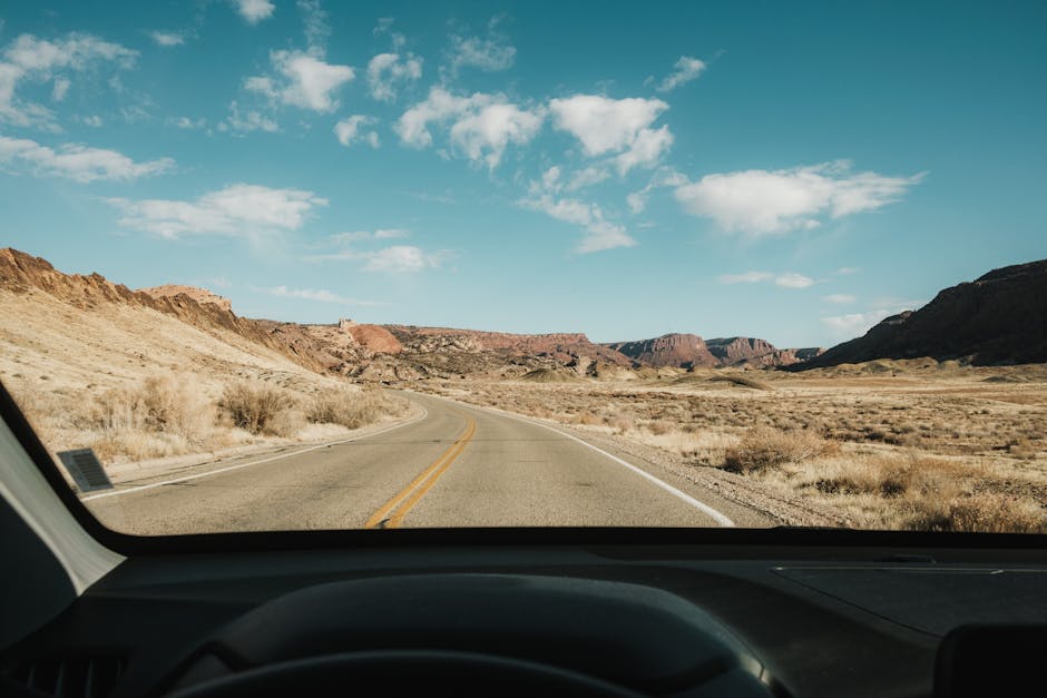
The Nullarbor Crossing
The Nullarbor is not scenic. It is 90 uninterrupted miles of treeless plain, the longest straight section of road in Australia at 146.6 km with zero bends, and fuel stops spaced far enough apart that running low is a real possibility. That’s precisely why serious long-distance drivers come here — not for the views, but for the experience of genuine vastness that no other road on the continent delivers.
The coastal section along the Great Australian Bight adds drama: sheer limestone cliffs 60–90 metres above the Southern Ocean, no guardrails, and a real chance of spotting southern right whales between June and October. Drive east to west if you can — the cliff lookouts sit on the right-hand side, which means the driver can actually see them.
Timing Mistakes That Wreck Australian Road Trips
More Australian road trips go wrong because of when people drive than because of where they drive. These are the errors that come up repeatedly:
- Driving the Kimberley in October or November. The wet season starts building in October. The Gibb River Road officially closes around mid-November and doesn’t reopen until late April or May. Check MainRoads WA before booking anything with a northern WA component.
- Underestimating fuel gaps on the Nullarbor. Fuel stops exist at Ceduna, Penong, Nundroo, Nullarbor Roadhouse, Eucla, Madura, Cocklebiddy, Caiguna, Balladonia, and Norseman. Some of those are 200+ km apart. Outback fuel prices run $0.50–$1.00 per litre above city rates in 2026. Budget for that gap.
- Booking the Red Centre in July without checking overnight temperatures. July is peak season for Uluru and Alice Springs. Daytime sits at 18–25°C — perfect. Overnight drops to 0–5°C are common. Travellers expecting warm desert nights get cold campsites and inadequate sleeping bags.
- Taking a two-wheel drive onto roads marked “4WD recommended.” In remote Australia, “recommended” frequently means “you can technically attempt this in a 2WD, but when you break a CV joint we cannot reach you.” If the route has water crossings or sustained corrugations, treat “recommended” as “required.”
- Assuming free camping is everywhere. It exists, but it’s patchy. In peak season — June through August in the north and centre, December through February on the east coast — powered caravan park sites book out weeks ahead. The Hema Explorer app distinguishes between paid, free, and national park sites across the country.
- Driving outback roads after dark. Kangaroo and wombat strikes peak at dawn and dusk. Hitting a large kangaroo at 100 km/h writes off most vehicles. Budget your driving day to finish before sunset, especially on unfenced outback roads.
Questions Drivers Ask Before Their First Australian Road Trip
Do you actually need a 4WD?
For three of the five routes in the table above — the Great Ocean Road, the Nullarbor, and the Pacific Coast Route — no. A standard hire car handles all of them without issue. For the Gibb River Road, yes, without exception. For the Red Centre Way, it depends on whether you want to access Kings Canyon via Luritja Road and include the Mereenie Loop. A sealed highway alternative exists but cuts out several worthwhile detours.
If hiring a 4WD specifically for a remote route, Britz and Maui both operate large fleets with properly equipped 4WD campervans rated for remote travel. Jucy is cheaper but their 4WD stock is limited and less capable — fine for the Red Centre on sealed roads, not suitable for the Gibb River Road.
What does a day on the road actually cost?
Rough breakdown for two people sharing costs in 2026:
| Category | Budget | Mid-Range | Comfortable |
|---|---|---|---|
| Vehicle hire (4WD campervan) | $90–$120/day (Jucy) | $150–$200/day (Britz) | $220–$280/day (Maui) |
| Fuel (per day, approx) | $30–$40 | $45–$65 | $65–$90 |
| Campsites / accommodation | $15–$25 (free or basic) | $35–$55 (powered site) | $80–$150 (station lodge) |
| Food | $30–$45 (self-catered) | $50–$75 (mixed) | $80–$120 (eating out) |
| Total per person per day | ~$82 | ~$175 | ~$300 |
Remote routes like the Kimberley spike the fuel and accommodation numbers considerably. The Nullarbor is fuel-heavy but campsite costs stay low. The Great Ocean Road in peak December–January adds 30–50% to accommodation costs if you haven’t booked months in advance.
Is driving in Australia difficult for international visitors?
Australians drive on the left. For visitors from the UK, Japan, or South Africa, that’s normal. For most others, plan an adjustment day in a city before tackling any highway. International driving licences are accepted in all states and territories for up to three months, with no additional Australian permit required.
So: back to the original question. Start with the Great Ocean Road if Australia is new to you and you have a week. Choose the Red Centre if you want to understand why Australians talk about the outback the way they do. Save the Gibb River Road for when you have 10–14 days, a proper 4WD, and a tolerance for corrugated dirt — because once you’ve done it, everything else feels slightly tame by comparison.