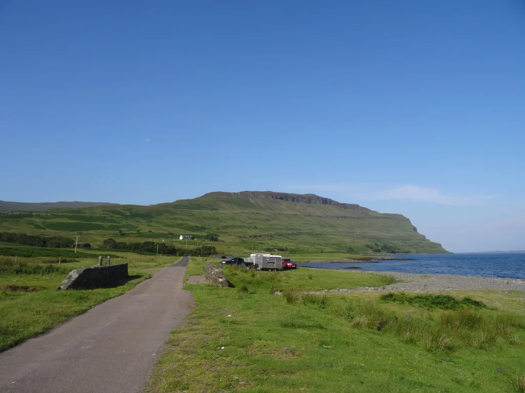
Ben More is Mull’s only Munro, but it’s one of my favourite Munros to date. (It’s also not to be confused with the other Ben More, which is 100-odd miles to the east in Loch Lomond and the Trossachs National Park.) We had clear skies, balmy temperatures, excellent views and the path mostly to ourselves – a recipe for an enjoyable hike, as far as I’m concerned. We followed the quiet road out to Dhiseig, where there’s a grassy verge with space for about two dozen cars. If (like us) you’ve not got a 4WD, don’t drive too far onto the verge – in wetter weather, you might find it tricky to rejoin the road.

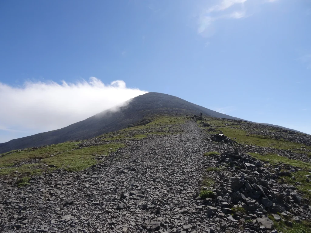
There’s a well-trodden path to the top, which is a blessing as there are a lot of metres to climb. (You start at sea level beside Loch na Keal, and Ben More is 966m. Go figure.) We followed the path up the hillside along Abhainn Dhiseig; towards the top it became a familiar gravel track. Fine on the way up… easy to lose your footing on the way down!

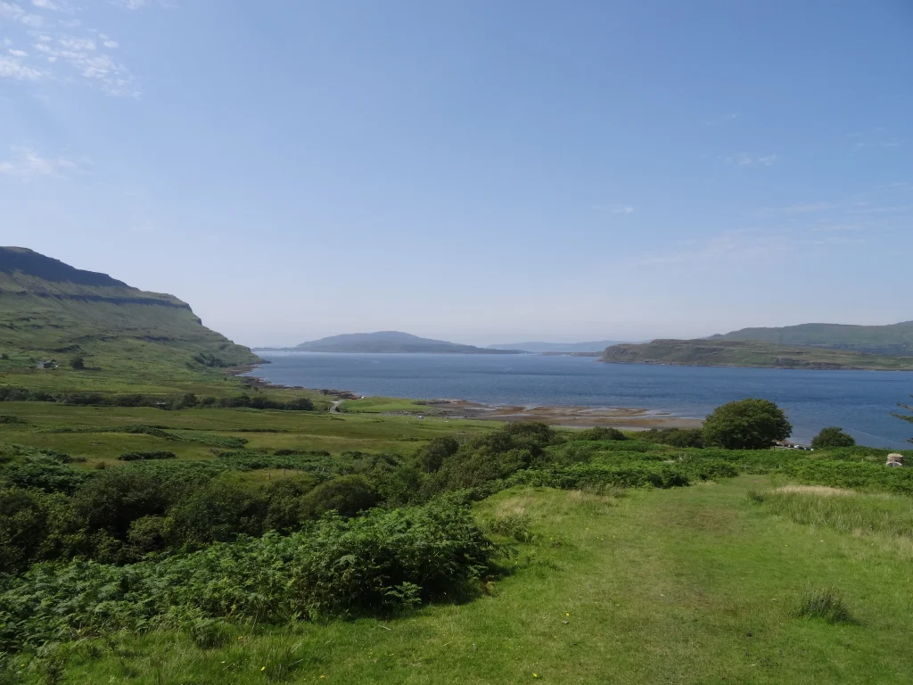
Ben More has some of the best views I’ve had from a Munro: jagged ridges and sweeping green glens, fringed by bright blue lochs.
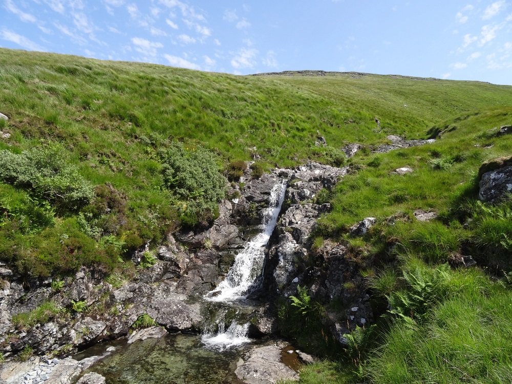
There was a large cairn at the top, which was ideal for lunch as it was the sort you could shelter in. After exploring the ridge to the south and taking oodles of photos from the summit, we meandered back down the hillside. Neither of us could quite believe how clear the water was, and we stopped by one of the waterfalls on our way down to dip our feet in and cool off.

We didn’t see that many people on the route (perhaps the warm weather put folk off) and it took us about 5h30 to complete this hike, including stops for snacks, lunch and (lots of) photos and a detour along the ridge to the south. Once safely back at the bottom, we tootled back to Salen for a cold drink and a sweet treat at The Coffee Pot.

KNOW BEFORE YOU GO
- Parking | There’s a grassy verge at Dhiseig (on the right hand side, if you’re coming from Salen), with space for around 20 cars.
- Maps and guides | Although it’s a straightforward out-and-back, take a copy of OS 375 with you in case you get into difficulty for any reason.
- Distance | 11.9km/ 7.4 miles; 1,001m of elevation (fractionally less if you opt not to explore the ridge to the south).
- Misc. | Bring plenty of water and snacks with you, as the nearest source of refreshments is all the way back in Salen. We found the water in the streams was very clear, so chlorine tablets are an option for purifying water if you don’t want the extra weight for the whole hike.