Hare Hill is, for me at least, the jewel in the Pentland Hills Regional Park’s crown. We’ve hiked up it in March, September, February and June (in that order, since moving to Bonnie Scotland), and have done a mixture of out-and-backs and longer loops.
Rewind to June, and the Platinum Jubilee bank holiday. (However you feel about the Royal Family, a four-day weekend is always a good idea in my books.) Previous bank holiday outings have tended to fall into one of two camps on the weather front: overcast with optional drizzle and/or downpours, or stonking hot. Mercifully, this particular bank holiday was a happy midpoint: glorious sunshine and definitely t-shirt weather, but not so hot that we felt in danger of melting into a puddle.
It would’ve been rude not to make the most of the good weather, so we pootled off to the Pentland Hills Regional Park. Destination: Hare Hill. Evidently the rest of Edinburgh had had the same idea, for Harlaw car park was bursting at the seams. Bye-bye Plan A. Hello Plan B: Malleny Mills, on the edge of Balerno. (Side note: if you’re lucky enough to get a space at Harlaw, this would shave two kilometres off the total distance of this route.)
With the car safely parked, we set off along Harlaw Road (this is single-track, so stay alert and be prepared to step onto the verge to allow drivers past). After a short stretch, the road veers sharply to the left; there are often a few cars parked in the layby on the bend. Just off to the right (and sometimes hidden by a car!) is a woodland path which follows Bavelaw Burn to Harlaw Reservoir.
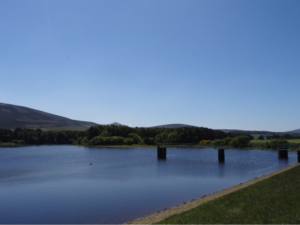
As the first chunk of this route is the same as the route via Green Cleugh and Threipmuir Reservoir (which I shared about a month or so back), I won’t go into so much detail here. We followed the gravel path around the edge of Harlaw Reservoir and on to Threipmuir Reservoir, both of which looked particularly pretty framed by lush green fields and bright blue skies.
With Threipmuir Reservoir/Bavelaw Marsh behind us, we set off up the single-track road lined with beech trees. What looks like a gentle slope in the picture below isn’t quite the reality: it starts off relatively flat, and swiftly turns steep.
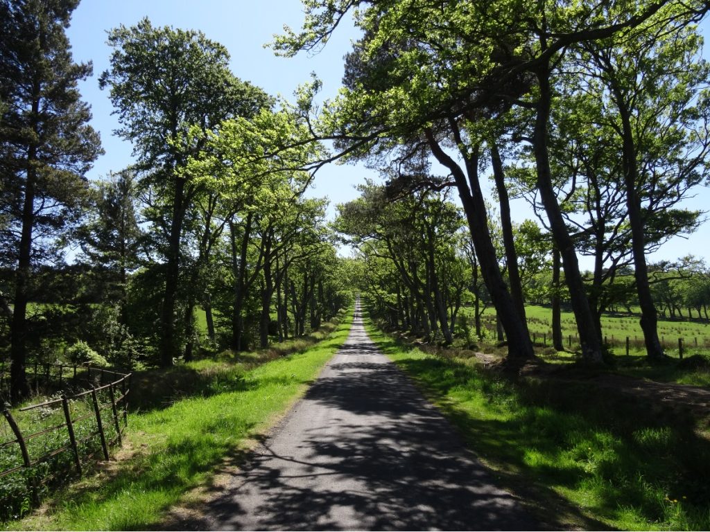
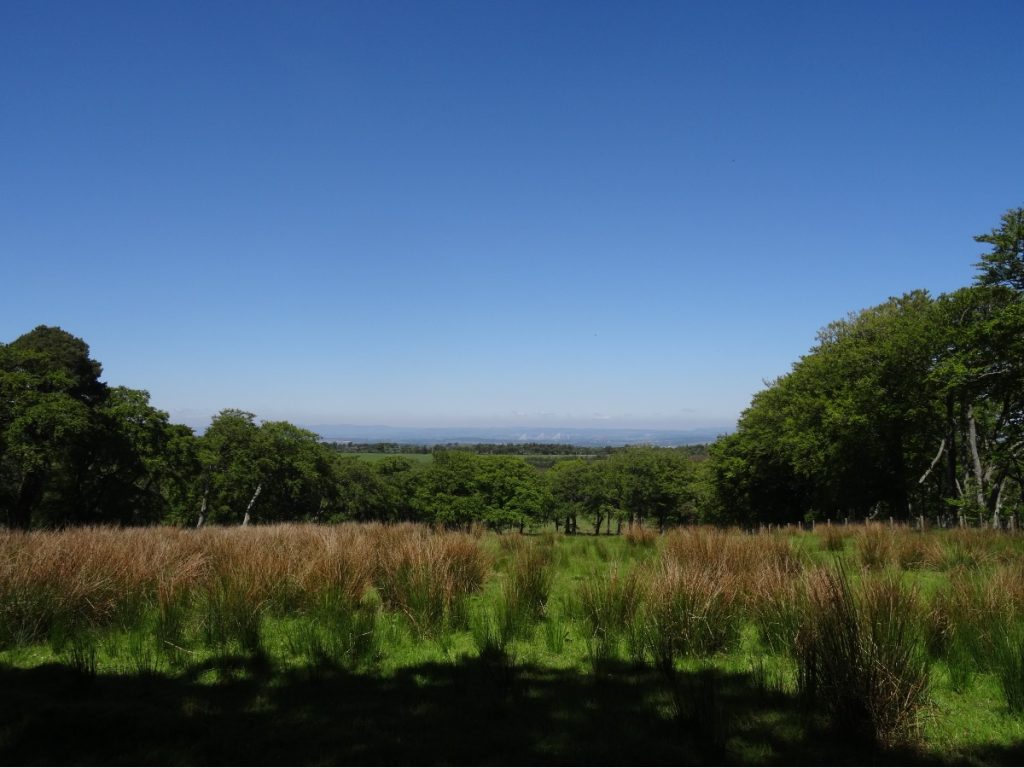
A gate on the right leads to a dirt track with views over to the Firth of Forth and Fife. (You’ll emerge in the same place as the road, so take whichever you prefer.)
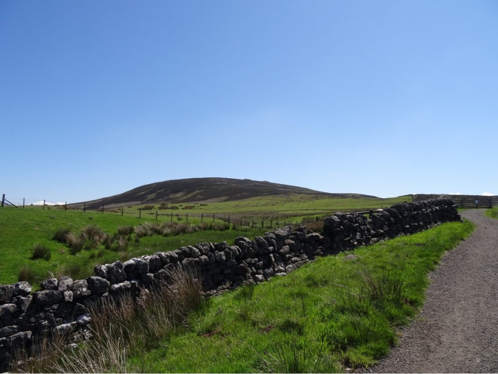
We picked up the sign to Nine Mile Burn at the top, and followed the Red Road as far as Red Gate. As mentioned previously, there isn’t a well-trodden path to the summit of Hare Hill – but if you keep the wall to your left and head up the hill at roughly a 45-degree angle from it, you’ll get there.
From Hare Hill’s lumpy, bumpy summit, it’s a case of following one of the (many, many) sheep tracks off the top to descend into Green Cleugh. I suggested returning via Loganlea Reservoir and Maiden’s Cleugh for a change (variety is the spice of life, or so they say), assuming it wouldn’t be that much further than the circuit we’d done a few months prior. As it turned out, it was six kilometres longer. So, if you’re after a shorter walk, opt for an out-and-back or the loop via Green Cleugh and Threipmuir Reservoir. If you fancy a longer (but no more difficult) one, this should fit the bill.
Green Cleugh was living up to its name. I couldn’t get over just how green the Pentland Hills Regional Park was in early June. I don’t edit any of my photos (read: don’t have the time to, and don’t feel that’s particularly helpful to readers wanting a sense of what somewhere really looks like), so the vivid greens you see are what I saw in the flesh.
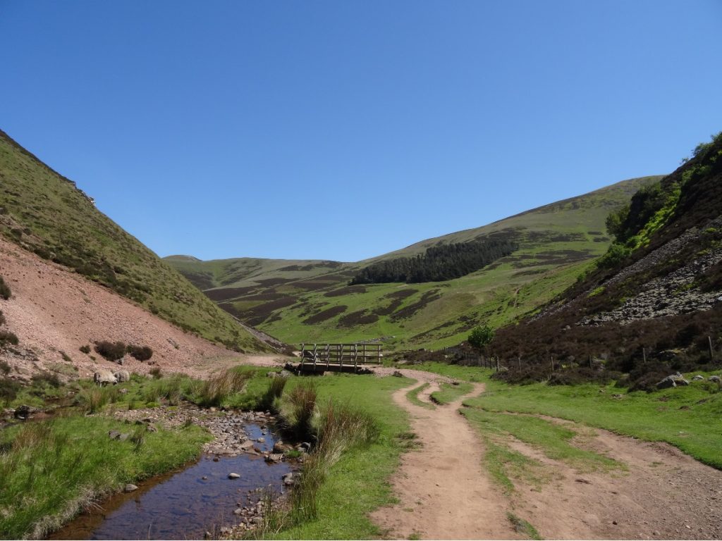
We turned right to follow Green Cleugh towards Loganlea Reservoir. Sheep (and their fluffy little lambs) were lazing and grazing along Logan Burn.
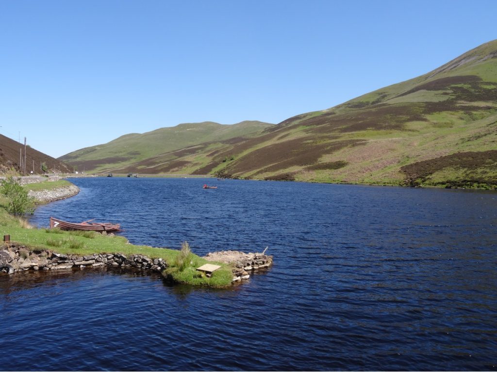
We saw lots of people fishing for trout in Loganlea Reservoir. Some were stood on the banks; others had taken little wooden boats out onto the water. Keep your wits about you on this stretch. We found that some weren’t particularly mindful of the fact there’s a footpath mere metres behind them, and the longer lines can easily stray over the wall.
As we approached Glencorse Reservoir, we spotted a load of ducklings out for a dip. They were moving pretty quickly, so it proved somewhat tricky to take a photo of those in the water. Fortunately, those sunbathing on the bank were more obliging.
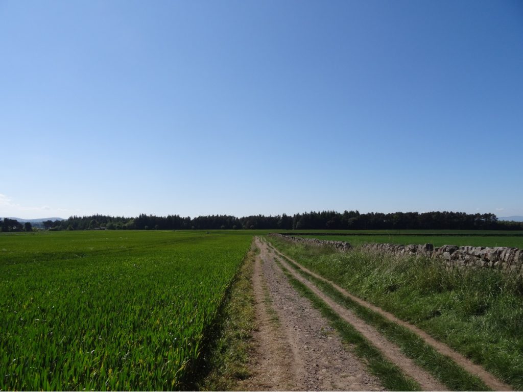
We followed the path alongside Glencorse Reservoir for a short distance, before picking up a footpath on the left which returns to Harlaw Reservoir via Maiden’s Cleugh. The last kilometre or so runs alongside fields which are used for growing crops; be sure to keep to the path and follow any signs in place. Upon reaching Harlaw Reservoir, we retraced our footsteps along Bavelaw Burn and Harlaw Road to return to our car.
KNOW BEFORE YOU GO
- Parking | There are car parks at Harlaw and Threipmuir, though getting a spot can be a bit hit-and-miss depending on what time you arrive. Suggested donation is £2. If you’re out of luck, there’s on-street parking in the nearby village of Balerno (but please be considerate to local residents and don’t block driveways).
- Maps and guides | OS Explorer 344 covers the Pentland Hills Regional Park. A shorter route (8.5km) is outlined in The Pentland Hills by Rab Anderson (route 55).
- Distance | 18.1km/ 11.3 miles; 377m elevation gain.
- Misc. | There are Portacabin toilets outside Harlaw House Visitor Centre (the building itself is closed, and is earmarked for use by the Pentland Hills Regional Park’s new Ranger Service). Otherwise, the nearest amenities can be found in the villages of Balerno and Currie.