Although I spent a fair chunk of the Easter break penning the penultimate assignment for my PGDE (I can’t even begin to tell you how relieved I was to see the back of that particular one), there was still plenty of time for exploring. We opted for the area around Loch Rannoch and Glen Lyon, and while it’s impossible to see everything this area has to offer in the space of a few days, you’re sure to leave wanting more. (I don’t know about you, but I’d far rather a trip ended on that note.) Here’s what we got up to…
Day 1: Glen Lyon and Loch Tay
We had a later start than anticipated, and reached the little village of Kenmore a little after eleven. (Not thanks to me, I should probably say. As much as I love exploring Scotland’s lochs, glens and mountains, I hate driving on the single-track roads that lead to them – so the driving fell to Laurence on this trip.) We loaded my panier bag with snacks for the road, then set off.
After crossing the River Tay, our route took us up through the village before tipping us off onto a country lane towards Comrie Castle. (That’s what Google Maps tells me, anyway. I don’t actually recall seeing a castle… but maybe it’s little more than a ruin these days.)
We pedalled over the bridge (and the River Lyon), and then turned left towards Coshieville. A couple more left turns later, and we’d left what little traffic there was behind. We zipped through Keltneyburn and Fortingall. When the road forked, a right turn led us into Glen Lyon. Despite the gloomy weather, Glen Lyon looked beautiful – there was a smattering of cottages and farmhouses along the road, but otherwise the landscape was untouched and all the better for it.
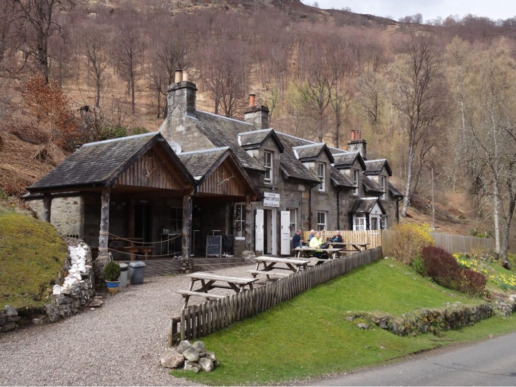
Just as we were beginning to feel peckish, the Glen Lyon Tearoom came into view. We pushed our bikes over to the bike racks (evidently it’s a popular spot amongst cyclists, for there were as many bike racks as there were parking spaces, if not more), then went inside to investigate the menu. We both opted for hot chocolates with cream and marshmallows, and a sweet treat to fuel us up for the hill beyond Bridge of Balgie. (I had a flapjack, while Laurence had an enormous slab of Guinness cake.)
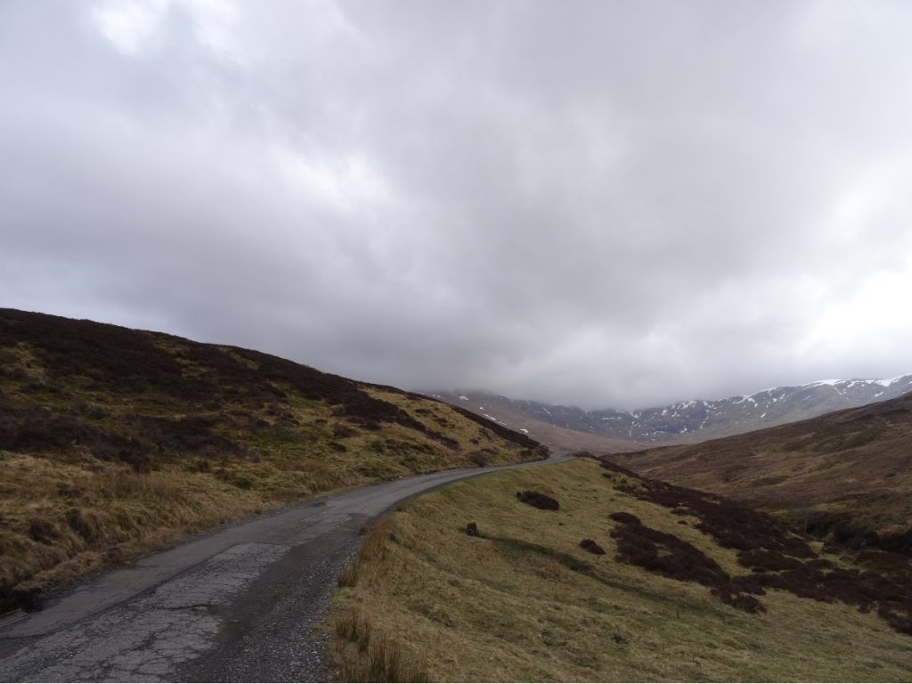
A steady climb along Allt Baile a’ Mhuilinn led us towards Lochan na Lairige and Ben Lawers Dam. A dusting of snow still covered the tops of the surrounding peaks (it was mid-April, but spring was rather chilly this year). We stopped briefly to take some photos at Ben Lawers Dam, then continued down the hill towards Loch Tay.
Whilst you can do a loop of Loch Tay, I’m glad we didn’t as I found the A827 a bit too busy for my liking. Fortunately, we weren’t on it for too long. We passed through Killin (which is at the opposite end of Loch Tay to Kenmore), and picked up a quieter (but considerably hillier) road along the southern edge of Loch Tay to return to Kenmore.
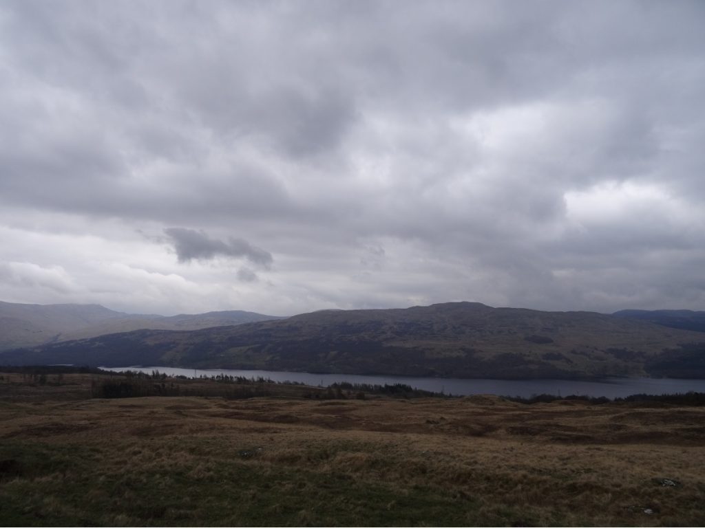
- Parking | Kenmore Beach Car Park has space for about ten to twelve cars. When we visited the ticket machine wasn’t in use, but had it been the charges weren’t extortionate: £2 for up to three hours, £3 for up to five, or £5 for max. eight hours. A word of caution if you have bikes on top of your car (as we did): pull over before you enter the car park, take them off the roof, then park your car. If you don’t, there’s an arch over the entrance (presumably to prevent motorhomes from staying the night) and your bikes will go straight into it.
- Distance | 77.3km/ 48.3 miles; 1,091m elevation gain.
Day 2: Schiehallion
Schiehallion is perhaps one of Scotland’s most iconic mountains, as it is an isolated peak with a distinctive conical shape when viewed from the northern shore of Loch Rannoch. Back in the 1700s, these properties led astronomer Charles Mason to propose Schiehallion as the ideal site for an experiment to estimate the mass of the Earth. Nevil Maskelyne, Astronomer Royal, conducted the experiment, assisted by Charles Hutton (who went on to devise contour lines). Whilst their results developed the scientific community’s understanding of the planet we live on, others built upon their methods in subsequent decades and obtained more accurate measurements.
We made an early start as we were conscious that the combination of a bank holiday weekend and an easily bag-able Munro meant the car park was likely to fill up early. A couple of Forestry and Land Scotland wardens were manning the car park, and directed us to a space. (This was brilliant, as it meant that all the spaces in the car park were used effectively, and no one was blocking anyone else in and/or leaving a bigger gap than they needed to between their car and the next.)
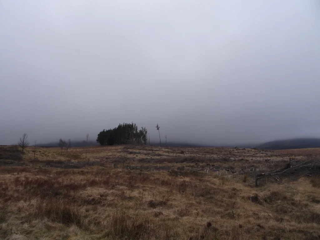
We headed to the far corner of the car park to join the well-maintained path to the summit. We skirted the edge of some woodland, and then the path began to climb steadily: past some crumbling shielings and up the eastern flank of Schiehallion.
As we gained height, we lost visibility – and whilst we endeavoured to heed the signs to stick to the path to reduce erosion, we didn’t always succeed in doing so.
I can’t comment on the views from the top, because on the day we visited there were none to be had. Despite the poor weather, it was surprisingly mild at the top. We plonked ourselves down on a rock and enjoyed an early lunch. (I’m pretty sure it was before midday, but when hiking/cycling lunch is whenever I feel hungry.)
Luckily, the clouds lifted a wee bit as we descended so it wasn’t an entirely view-less hike:
Since we were off the mountain by early afternoon, we decided to venture over to Pitlochry. This turned out to be one of the best decisions of the trip, as my postcard-hunt led us to the Tourist Information Centre. I got chatting to the lady on the till, and mentioned we were planning on cycling around Loch Rannoch the following day. She promptly recommended a detour to Rannoch Station Tearoom, and we made a mental note to adjust our route to factor that in (keep reading to see why it’s worth the detour).
- Parking | Forestry and Land Scotland operate a couple of car parks for Schiehallion at Braes of Foss. I think it cost £2 or £3 for an all-day ticket. If you’re driving up from the Kinloch Rannoch side, the first one you reach is where the path starts; park here if you can. If it’s full, there’s another car park a mile or so up the road on the left-hand side.
- Distance | 11.1km/ 6.9 miles; 736m elevation gain.
Day 3: Loch Rannoch and Rannoch Station
We’d originally planned to do a big loop around both Loch Rannoch and Loch Tummel on Easter Sunday, but decided to scale this back for a couple of reasons: firstly, the tearoom tip-off from the lady at Pitlochry Tourist Information Centre; and secondly, because my knee was feeling a bit worse for wear after the ride on Good Friday.
We were barely five hundred metres into our ride when we pulled over to admire the view down Loch Rannoch. We cycled anti-clockwise around the loch, and I’d recommend this for the simple reason that there are better views going in this direction. The B846 hugs the shore of the loch, and there are plenty of opportunities to hop off and take photos along the way (and wild camp, if you’re so inclined).
When the road split at the end of Loch Rannoch, we continued straight to follow the River Gaur up to Rannoch Station; the left turn goes through Bridge of Gaur and returns to Kinloch Rannoch along the southern side of Loch Rannoch (more on that chunk later). We spotted a few people fishing in Loch Eigheach Gaur Reservoir further up the road, and not long after that we reached Rannoch Station.
Rannoch Station lies on the West Highland Line, which runs between Glasgow and Fort William. As only a handful of trains pass through the station each day, it’s a peaceful spot. We were led to a table in the adjacent Visitor Centre, which contained lots of information boards documenting the history of the West Highland Line and wildlife in the local area. We were utterly spoilt for choice on the cake front, but after much deliberation I went for a slice of carrot cake and Laurence opted for the lemon drizzle.
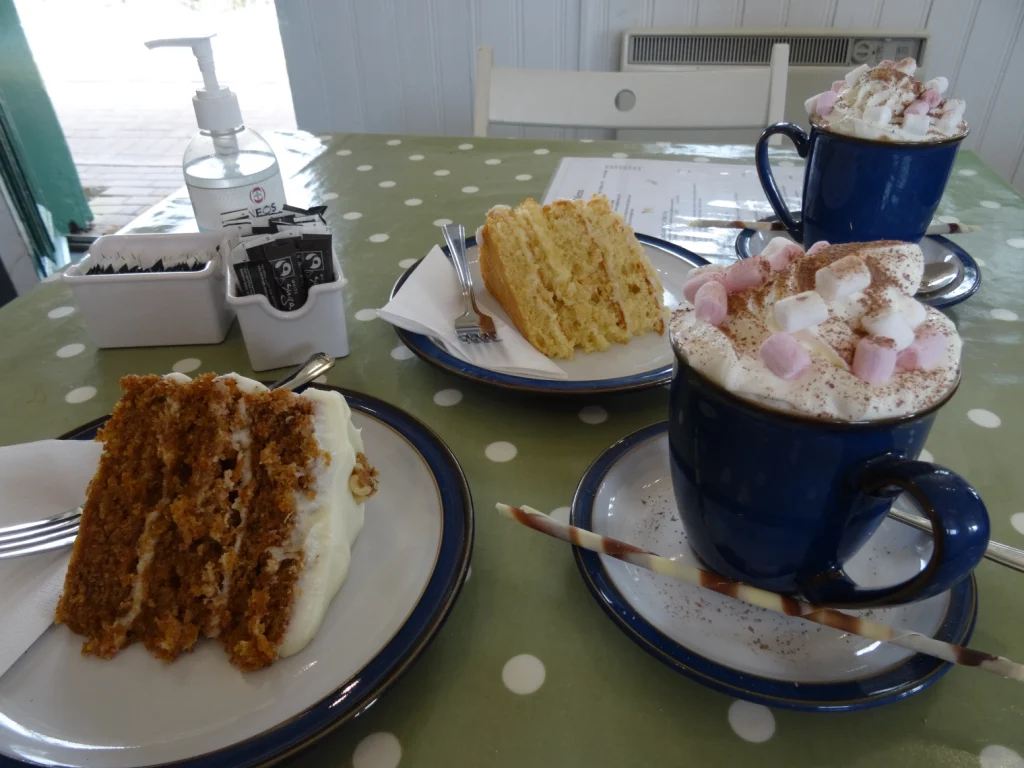
Whilst munching, we had a look at the tearoom’s leaflet of suggested walks in the area. Cue: another little detour. Since the sandy shore of Loch Laidon was just under a mile from Rannoch Station Tearoom, we figured we might as well venture over. We crossed the railway track, and then took the gravel track down towards the loch (I was on a road bike and managed on 25mm tyres, but Laurence’s gravel bike definitely handled it better).
Once we’d had our fill of the views across Loch Laidon, we retraced our footsteps to Loch Rannoch and then turned right towards Bridge of Gaur. Whilst our outbound route ran close to the shoreline, the return along the southern side of Loch Rannoch was dominated by farmland and woodland. The Black Wood of Rannoch lies on this side of Loch Rannoch, and is the largest remaining area of Caledonian Forest in Perth and Kinross.
- Parking | We were staying in Kinloch Rannoch, so simply left our car at our accommodation. If you’re not staying in Kinloch Rannoch, there are a number of car parks around Loch Rannoch which you could use as the start/end point of this loop.
- Distance | 57km/ 35.6 miles; 423m elevation gain.
Day 4: Càrn Gorm, Meall Garbh, Càrn Mairg and Meall na Aighean
Our final day in the area was spent tackling a cluster of Munros near Invervar. This was one of those hikes where we experienced all four seasons in the space of six or so hours in the hills: overcast skies followed by a flurry of snow and hail, which left to reveal blue skies and sunshine, and a fair bit of wind on the side throughout.
We had to walk an extra kilometre or so along the road at either end, as the small car park was full, but this didn’t detract from the route. Just opposite the car park, a gravel track led us up into woodland and alongside Invervar Burn. We followed this uphill, and then crossed the burn to join a narrow dirt track.
Said track cut across the grassy slopes of Meall Garbh (not the Munro, confusingly there are two hills with the same name in this area), through the last patches of snow, and up onto Càrn Gorm (1,028m). From the summit there are expansive views, but particularly to the north. Between snow showers, we had a lovely view of Loch Rannoch and the snow-capped peaks beyond.
From Càrn Gorm, there’s a well-trodden path to Meall Garbh (968m), which skirts the foot of An Sgòrr. We followed the fence posts, since the weather was proving very variable and there’s little else in the way of distinctive features on these hills to aid navigation.
One upside of the distinctly iffy weather was the number of rainbows we saw:
Although we didn’t get any views from Schiehallion two days prior, we did have a lovely view of Schiehallion from Meall Garbh.
As this cluster of Munros lie on a plateau, once you’re up, you’re up: there’s not too much descent between hills. (Just as well, given this is a reasonably long route.) We continued along the plateau towards Càrn Mairg (1,041m), passing Meall a’Bhàrr (a Munro top) on our way.
We found a sheltered spot on Càrn Mairg to have a bite to eat, and wished we had brought our Thermos with us so we could warm up with a cuppa (as another couple were doing). We didn’t linger too long at the top; when it’s nippy, I’d prefer to keep moving as I find it hard to warm up once I’ve stopped. We followed the track across Meall Liath, and then curved round to Meall na Aighean (981m). Meall na Aighean is named Creag Mhòr on older maps and a few websites (including the trusty website Walk Highlands).
From the top of Meall na Aighean it’s a straightforward, if slow-going, journey down the hillside to return to Invervar.
- Parking | There’s a very small (free) car park at Invervar, with space for about six cars. If, like us, you arrive to find that full, continue along the road (heading west) for a mile or so and you’ll find a large layby with space for a dozen or so cars.
- Distance | 21.5km/ 13.4 miles; 1,333m elevation gain.
KNOW BEFORE YOU GO
- Getting here | Whilst this is a beautiful area, it is poorly served by public transport. Pitlochry, some twenty miles to the east, is the nearest train station to Kinloch Rannoch. There are a handful of buses a day between Pitlochry and Kinloch Rannoch, operated by Elizabeth Yule. Check their website for current timetables: www.elizabethyulecoaches.co.uk/bus-services. By far the easiest and most convenient way to get around is by car and/or bike.
- Accommodation | We stayed at Tighnavon Glamping Pods in Kinloch Rannoch (www.tighnavonglampingpods.co.uk). When we stayed in April 2022, it cost £90 on Friday and Saturday night, and £60 for any other night of the week. Prices, at time of writing, don’t change with the seasons. Each of their pods can sleep four, and have a double bed, sofa bed, table and chairs, kitchenette (with plug-in oven and microwave), and a wet room.
- Maps and guides | OS Explorer OL48 covers Ben Lawers and Glen Lyon, whilst OL49 covers Loch Rannoch, Loch Tummel and the five Munros we did.
- Food | Whilst amenities are few and far between beyond Pitlochry, there are a couple of note: Glen Lyon Tearoom (which has oodles of baked goods and an excellent hot chocolate) and Rannoch Station Tearoom (which serves delicious cakes worth making a detour for). In Pitlochry, Escape Route (3 Atholl Road) is a good spot for coffee and cake (and for those on two wheels, it has the advantage of being a bike-friendly café), while The Old Mill Inn (Mill Lane) serves tasty pub grub.