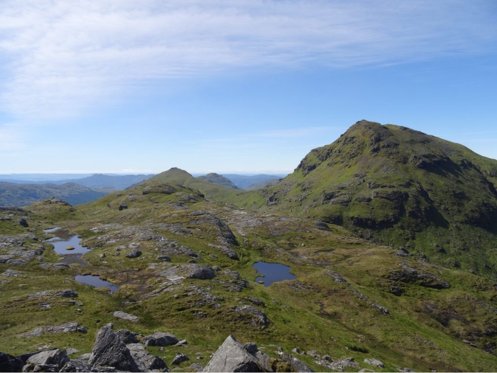
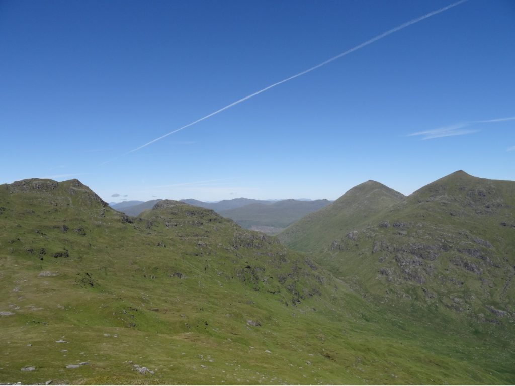
When I sat down to write this post, I struggled to find words that would do Cruach àrdrain and Beinn Tulaichean justice. We had incredible views along the entire route – amongst the best I’ve ever had on a hike. I celebrated another birthday in the hills. Throw in a borderline unhealthy dose of adrenalin (read: sheer panic) when we underestimated how steep Cruach àrdrain was and found ourselves in a bit of a pickle on the NE slope, and we had the recipe for an unforgettable trip.
We woke up at 07.00 without an alarm – a feat only accomplished on active holidays – and set about taking down the tent. Across the valley, clouds circled the summit of Ben More. After a breakfast of hot cross buns (me) and apple and blueberry own-brand oats (Laurence), we set off.
We made slow but steady progress up the path-less and boggy slope towards Creagan Dubha. At the edge of the ridge, we caught our first glimpse of Cruach àrdrain: a hulking mass of green, just off to the right.

As we began our descent to the bealach below Cruach Àrdrain, we spotted a rock ptarmigan hopping amongst the rocks. Luckily, it stayed still just long enough to take a couple of photos.
If there’s one thing we learnt the hard way on this trip, it’s that can doesn’t necessarily equate to should. Yes, you can climb up the NE side of Cruach Àrdrain (and we did). But should you? Probably not. With the benefit of hindsight, I would recommend following the valley south and picking up the established trail between Cruach Àrdrain and Beinn Tulaichean, as this will be (a) safer and (b) easier.
We made the mistake of following a user report from Walk Highlands without checking it against the topography of this particular section of the route on a map beforehand. What looked like a grassy, if a little steep, slope to the summit (see photo below) turned out to be the living, breathing definition of ‘a bad idea’. One day, I will be old enough to know better than to go up a 45° slope, but this was not that day.
Unfortunately, the realisation that this was ‘a bad idea’ only hit us when we were about halfway up – and turning round and picking our way back down would have been just as tricky as (if not trickier than) continuing uphill. My advice if you do find yourself in this or a similar situation: avoid the rocks. Some started off fine, but led to narrow ledges which proved very sketchy with our rucksacks on. Others looked as though we should have been able to find a foothold and clamber over, only for us to discover (at the point of no return) that the ground was less stable than we’d assumed.
We eventually found a semi-decent route up, sticking to the grass, and made it to the summit of Cruach àrdrain (1,046m). I think there’s a reason most folk do Cruach àrdrain from Crianlarich (to the north) or by coming up and over Beinn Tulaichean (to the south) – and not from Benmore Glen!
If there’s a better view than that from Cruach àrdrain, I’m yet to find it. We were fortunate to have clear skies that day, and enjoyed views of the Firth of Clyde and the Isle of Arran (off to the distance, looking south-west), Ben Nevis (north), and many of the peaks we’ve climbed in the area, including Ben Vorlich and Stùc a’ Chroin (south-east) and Ben Venue (south).
There’s a well-trodden track between Cruach àrdrain and Beinn Tulaichean, which made the next chunk of the route considerably easier.

From the summit of Beinn Tulaichean, there are two options. Option one is to retrace your steps towards Cruach Àrdrain, and take the path on your right to descend into Inverlochlarig Glen and join a gravel track. Option two is to head straight off the south side of Beinn Tulaichean and pick your way down the muddy slope and across fields, and join the gravel track just on the edge of Inverlochlarig. We opted for the latter, as it meant we could enjoy the views for a wee bit longer.
From time to time, the path would disappear into the bog – so we’d muddle along and pick it up again twenty or so metres further down the hillside. We aimed roughly for Creagan nam Breid, and within an hour or so we’d reached the gravel track.
We rounded the trip off with fish and chips in Callander, a little town on the edge of Loch Lomond and The Trossachs National Park.
KNOW BEFORE YOU GO
- Parking | There’s a small car park in Inverlochlarig with space for c. 15 cars. You can’t miss it: it’s on the left-hand side just as you reach the end of the public road.
- Maps and guides | Pack copies of OS Explorer OL46 (for Beinn Tulaichean) and OL39 (for Cruach àrdrain) – and know how to read them.
- Distance | 11.7km/ 7.3 miles; 667m of elevation gain.
- Misc. | We came across a lot of nitwits who’d parked in passing places along the road by Loch Voil/Loch Doine and made the return journey along this narrow, twisty road more challenging than it needed to be. Don’t be that person – only park in designated areas, and have a Plan B in case your desired spot is full.