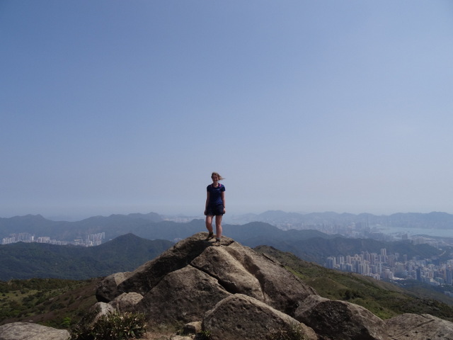
We ended our trip on a high – quite literally, since we spent our last full day atop Tai Mo Shan, the SAR’s highest peak. Located slap-bang in the middle of the New Territories, it commands superb views of the rest of Hong Kong, and on clear days the southern coast of mainland China can be seen on the horizon.
After a cheap and cheerful brekkie at Ocean Empire, we caught the MTR to Tseun Wan, where we hopped on Bus #51 to Tai Mo Shan Country Park. The bus sped along Route Twisk (which should really be called Route Twist, for there was no end of sharp twists and turns along this road) at breakneck speed, and it wasn’t long before we were jumping out at the park entrance.

Tai Mo Shan may be the highest peak in Hong Kong, at 957m, but contrary to what its height might suggest, it’s actually one of the easiest hikes going, as the route to the top is essentially a tarmacked road which serves the observatory at the summit.
After smothering ourselves in sunblock, we set off on Tai Mo Shan Road – along with every other hiker and their dog (or pram – it really is that accessible, and they were certainly out in force). When the sun has got its hat on, everyone comes out to enjoy the country parks!
The summit of Tai Mo Shan is notorious for being shrouded in fog, but on the day we were there the skies were clear and no cloud rolled in as we approached the summit. (If only I could say the same for our recent ascent of Ben Nevis, but I digress.) Pick the day with the best forecast for this hike, as it’s the views which make it worth doing – following a road uphill for a few kilometres for no reward certainly isn’t my idea of fun! If the forecast doesn’t look so good, hold off for another day. Don’t try to convince yourself the weather will be better at the top, as that’s where the weather forecasts for Hong Kong are taken from!

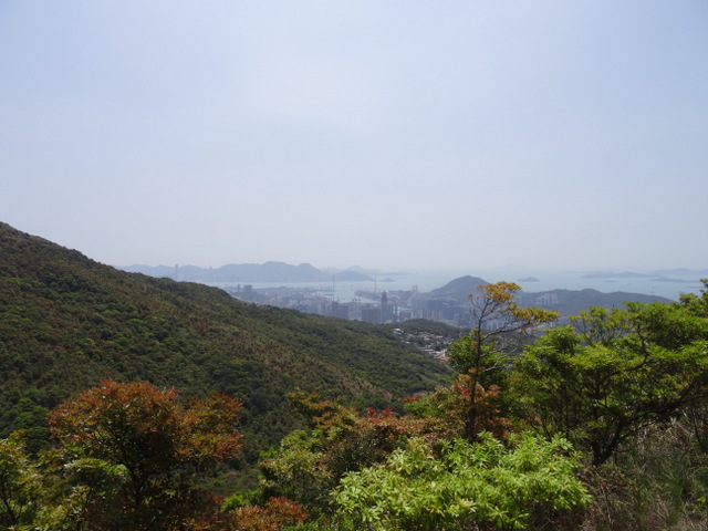
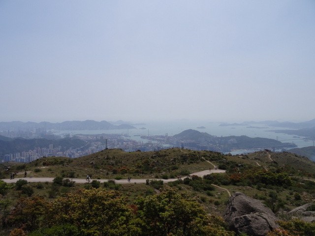
As we gained height, we soaked up the views of Kowloon, Hong Kong Island and the Outlying Islands to the south and China to the north. Out east, we spied Sai Kung and Plover Cove, the latter an area I have yet to explore.
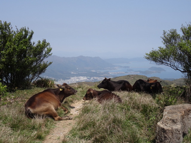
Around a kilometre or so off the summit, vehicles have to stop (or present permission from the observatory to proceed further). We spotted a fair number of people driving or catching cabs up and then continuing on foot, so this is an option if, for whatever reason, you’re unable to get to the top on your plates of meat (that’s feet, for anyone unfamiliar with Cockney Rhyming Slang). Beyond that point, we only saw other hikers, cyclists and some wild cattle along the path.

We made it to the summit in just over an hour, and then spent almost as long taking a relaxing lunch break at the top. It would have been a shame to zoom back down again, especially as the weather was so nice. Being able to spot all the other places we’d visited and hiked in from the summit was pretty neat, too.

On the way down, we veered onto the MacLehose Trail, following this until we reached the Visitor Centre near the entrance to Tai Mo Shan Country Park. We both preferred this route, as it wasn’t so crowded and felt like more of a trail than a pedestrian motorway up a hill!
Our return bus ride took jam-packed to a whole new level: people (us included) were sandwiched under others’ armpits, and clinging on to handrails as the bus whizzed down the hill was pretty hard work. Back in Tseun Wan, we treated ourselves to some fresh jackfruit before heading back to Sheung Shui.
Tips:
- Whichever path you take to ascend Tai Mo Shan, it’s exposed with little shade. Take plenty of water with you, and be prepared to sunblock-up ahead of – and during, if necessary – your hike.
- Bus #51 leaves from the road above Tseun Wan MTR. Take Exit A, turn right and go up the stairs to access the bus stop. Alight at Tai Mo Shan Country Park for Tai Mo Shan.