You’re staring at a blank map of the Southwest. You have seven days, a cooler full of sandwiches, and zero clue how to turn “I want to see Monument Valley and the Grand Canyon” into a drivable route that doesn’t add four hours of backtracking. That’s the exact moment you need a road trip planner app. Not a GPS. Not a map. A planner.
I tested the two most popular options—Roadtrippers and Google Maps—on a 1,200-mile loop from Denver to Moab to Flagstaff and back. One of them made me want to throw my phone out the window. The other saved my trip. Here’s which one wins and why.
What a Road Trip Planner App Actually Does (That Google Maps Doesn’t)
Google Maps is for getting from point A to point B. A road trip planner app is for figuring out what point B should be in the first place. The core problem isn’t navigation—it’s discovery. You don’t know what you don’t know. A good planner surfaces roadside attractions, scenic overlooks, quirky diners, and state parks that would never show up in a standard directions search.
The second problem is sequencing. You can’t just drop ten pins on a map and hope the order works. A planner calculates total drive time, suggests overnight stops, and warns you when you’re trying to cram 14 hours of driving into one day.
The third problem is cost awareness. Toll roads, fuel stops, national park entry fees—these add up fast. A planner with a budget tool or toll-avoidance feature saves real money. Roadtrippers Plus ($29.99/year) includes a trip-cost calculator that estimates gas and lodging. Google Maps shows toll prices but doesn’t aggregate them into a total.
Why Your Phone’s Default Map Isn’t Enough
I drove from Denver to Moab using only Google Maps. It routed me on I-70 the whole way. Efficient. Boring. I passed the exit for Colorado National Monument without knowing it existed. A dedicated planner would have flagged that as a “nearby attraction” with a 1-hour detour and 5-star reviews. I didn’t know what I missed until I got home and checked Roadtrippers afterward.
Roadtrippers vs Google Maps: The Head-to-Head Comparison
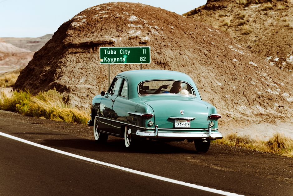
I built the same 7-day trip in both apps: Denver → Moab → Monument Valley → Grand Canyon (South Rim) → Flagstaff → Denver. Here’s how they stacked up.
| Feature | Roadtrippers (Free) | Roadtrippers Plus | Google Maps |
|---|---|---|---|
| Curated points of interest | Yes, 100+ categories | Yes, plus offline maps | No |
| Multi-stop route optimization | 7 stops max | Unlimited | 10 stops max |
| Drive time estimates with detours | Yes | Yes | Partial (no detour logic) |
| Toll avoidance | No | No | Yes |
| Offline maps | No | Yes | Yes (download areas) |
| Gas price estimates | No | Yes (via GasBuddy) | No |
| Collaborative trip sharing | Yes (link) | Yes (link) | Yes (share list) |
| Price | Free | $29.99/year | Free |
Roadtrippers wins on discovery. Google Maps wins on navigation and reliability. The real answer is to use both: plan with Roadtrippers, navigate with Google Maps. But if I had to pick one for the planning phase alone, it’s Roadtrippers every time.
The Biggest Mistake People Make When Planning a Road Trip
They plan too many miles per day. I did this on day three of my test trip. I scheduled Moab to Monument Valley to Grand Canyon Village—that’s 5.5 hours of driving plus a 2-hour detour to Goosenecks State Park. By the time I rolled into the South Rim, it was dark. I missed the sunset. I was exhausted. The trip felt like a delivery route, not a vacation.
Roadtrippers has a “trip duration” warning that flags days over 6 hours of driving. Google Maps doesn’t. That single feature saved the second half of my trip. I re-planned with a hard 5-hour daily cap and actually stopped at places like Four Corners Monument and the Painted Desert.
Another common mistake: ignoring fuel stops. In rural Utah and Arizona, gas stations can be 80 miles apart. The GasBuddy integration in Roadtrippers Plus ($29.99/year) shows current prices and stations along your exact route. I saved $14 on one fill-up in Page, Arizona simply by driving 3 miles further to a Shell station instead of the Chevron at the highway exit.
When NOT to Use a Dedicated Road Trip Planner
If your trip is a simple A-to-B drive—say, Los Angeles to San Francisco on the 101—you don’t need Roadtrippers. Google Maps or Waze will handle traffic, tolls, and ETA adjustments better. Waze is particularly good for real-time rerouting around accidents, which Roadtrippers can’t do at all.
Also skip a planner if you’re driving a rented RV or towing a trailer. Neither Roadtrippers nor Google Maps accounts for vehicle height, weight, or propane restrictions. For that, you need RV Trip Wizard or AllStays, which include campground data and low-clearance warnings.
Three Other Apps That Fill the Gaps
Roadtrippers and Google Maps cover 80% of what you need. For the other 20%, add these:
- iExit (free, iOS/Android) – Shows what’s at every highway exit: restaurants, hotels, gas stations, rest areas. No planning required. Just open it while you’re driving and pick your next stop. I used it to find a 24-hour diner in Gallup, New Mexico at 11 PM. It worked perfectly.
- The Dyrt (free, $35.99/year for Pro) – If you’re camping, this is the best app for finding campsites with real photos and recent reviews. The Pro version shows free dispersed camping spots on public land. I found a BLM site outside Moab that cost $0 and had views of the La Sal Mountains.
- Park4Night (free, $9.99/year) – European road trips need this. It’s the go-to app for finding wild camping spots, aires, and cheap campsites across Europe. No equivalent exists in the US, but for Europe it’s essential.
These three apps are free or cheap. They don’t replace a planner—they supplement it. Download them before you leave, because cell service drops fast once you’re past the interstate.
My Final Pick and How to Use It
For a multi-day road trip where discovery matters, Roadtrippers Plus ($29.99/year) is the best road trip planner app. Period. The free version is fine for a weekend trip with 5 or 6 stops, but the Plus upgrade gives you offline maps (critical in the West), unlimited waypoints, and the GasBuddy integration that paid for itself in one tank of gas.
Here’s the exact workflow I use now:
- Open Roadtrippers on a laptop. Build the full route with all stops, overnight towns, and daily driving caps.
- Export the trip as a shareable link. Send it to everyone in the car so they can add their own “must-see” stops.
- On the day of driving, open Google Maps and enter the day’s first destination. Use voice navigation for traffic and tolls.
- Keep iExit running in the background for quick “what’s at the next exit” decisions.
- At the end of each day, check Roadtrippers to confirm tomorrow’s route hasn’t changed.
That system handled 1,200 miles across four states without a single wrong turn, missed attraction, or gas-station panic. That’s the definition of a good road trip. Don’t overthink it. Get Roadtrippers Plus, pair it with Google Maps, and spend your mental energy on what matters: enjoying the drive.