And just like that, it’s September and this wee corner of the internet has been (as was perhaps inevitable) neglected for the best part of a month. I’m five weeks into my year as a newly-qualified teacher in a new-to-me school, and it has been equal parts enjoyable and exhausting. But I digress. Today’s blog is a space for one of Edinburgh’s best urban walks: Seven Hills.
Yes, just like Rome (and countless other cities around the globe, if Wikipedia is to be believed), Edinburgh is built on seven hills. At some point between moving to Edinburgh last February and this past July, I decided I fancied walking all seven of them in a day.
Corstorphine Hill
We live in Corstorphine, so I made Corstorphine Hill the first hill of the day. I headed up Clermiston Road, then zig-zagged upwards through the residential streets. Where Kaimes Road and Cairnmuir Road meet, there’s a footpath into Corstorphine Hill Local Nature Reserve. When the path split a hundred or so metres in, I turned left and wandered up through the woodland to reach The Tower.
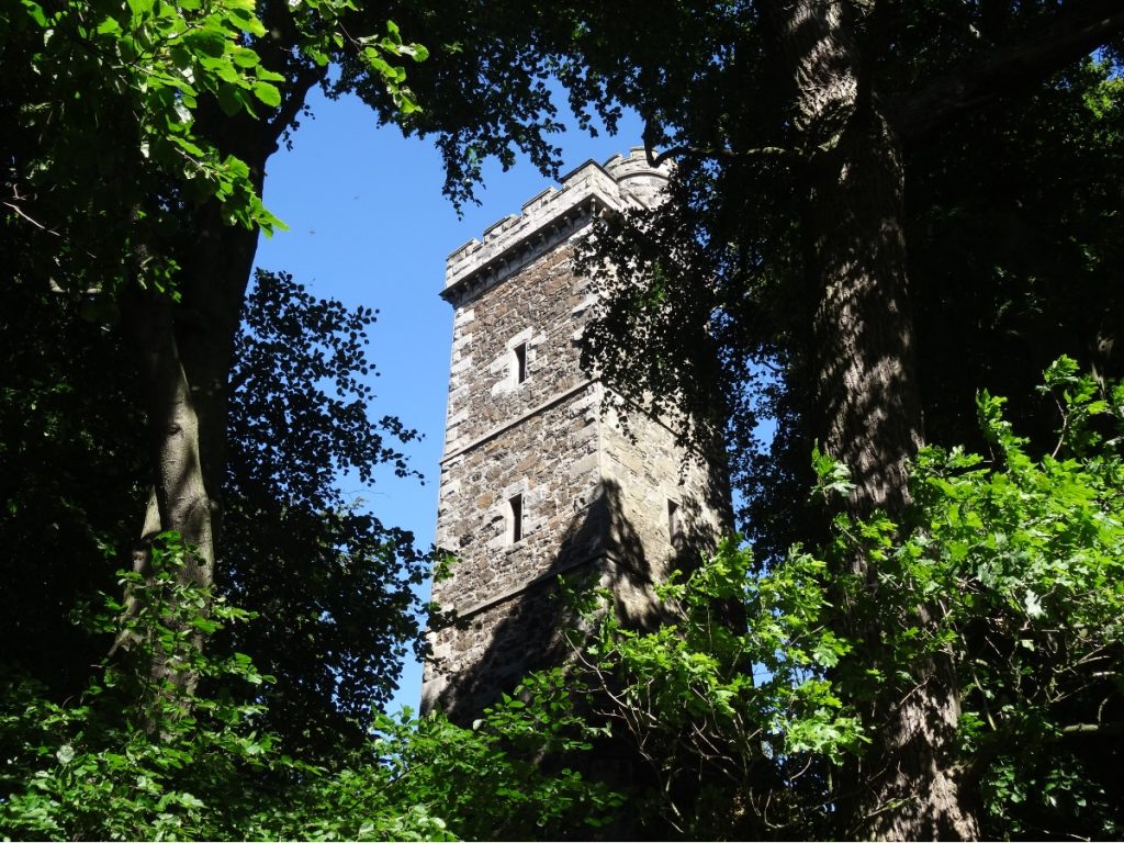
Although The Tower marks the summit of Corstorphine Hill, it’s rarely open to the public (though if you’re in Edinburgh next weekend, you can visit it as part of Doors Open Days 2022) so the best views are found elsewhere. I retraced my footsteps and then picked up the path to Rest and Be Thankful, which commands beautiful views towards Arthur’s Seat and Calton Hill.
Although The Tower marks the summit of Corstorphine Hill, it’s rarely open to the public (though if you’re in Edinburgh next weekend, you can visit it as part of Doors Open Days 2022) so the best views are found elsewhere. I retraced my footsteps and then picked up the path to Rest and Be Thankful, which commands beautiful views towards Arthur’s Seat and Calton Hill.
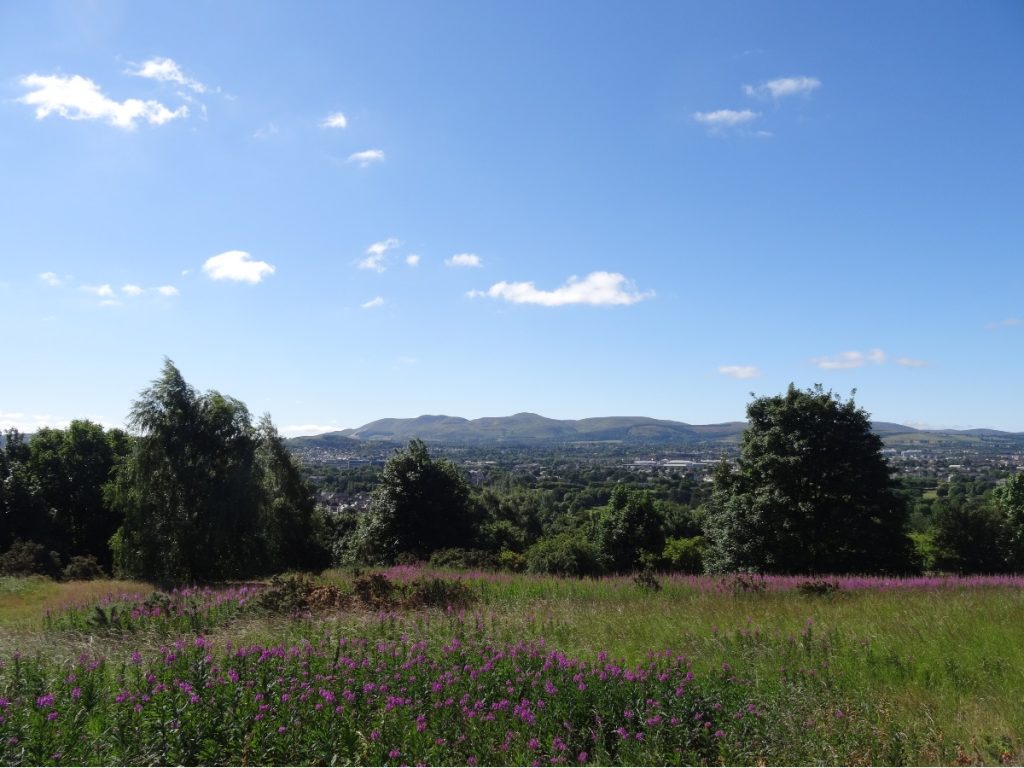
From Rest and Be Thankful, the path sweeps across the southern edge of Corstorphine Hill. I got my fix of views of the Pentland Hills Regional Park, and then continued down the hill to exit onto Corstorphine Road/Balgreen Road.
Craiglockhart Hill East
What follows is perhaps the least scenic stretch of the route. I walked the length of Balgreen Road and then turned right onto Gorgie Road. Fortunately, I turned off this busy trunk road before too long and onto Chesser Avenue. What this stretch lacks in scenic views, it more than makes up for in amenities. If you’ve forgotten anything and/or come to the realisation that you need more snacks/drinks than anticipated, stock up here.
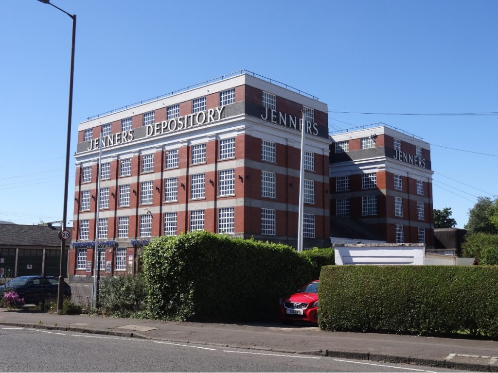
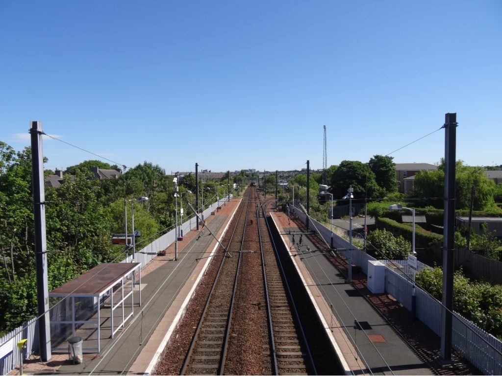
After a quick detour to Aldi for sunblock and more fruit, I continued onto Hutchison Terrace and crossed the railway line at Slateford Station. Craiglockhart Hill finally felt within striking distance: down Meggetgate, along the A70, then left onto Craiglockhart Avenue. (If you pass the Water of Leith Visitor Centre, you’ve gone too far: turn back, and Craiglockhart Avenue will be on your right.)
I passed the remains of Craiglockhart Castle (above) on the edge of Edinburgh Napier University’s Craiglockhart Campus, and shortly after turned onto a footpath into Easter Craiglockhart Hill Local Nature Reserve. After a short distance, I took a path on the right that climbed up through woodland towards the summit.
From the top of Craiglockhart Hill East, I had views across to Corstorphine Hill (the tree-clad hill on the left, below) and Fife. I had a snack at the top, and then followed the path beside the golf course fence to come off the hill.
Braid Hill
When compared to the distance between Corstorphine Hill and Craiglockhart Hill East, the next few hills come in quick succession. I exited Easter Craiglockhart Hill Local Nature Reserve onto Craiglea Place, then turned onto Morningside Grove. I then followed Greenbank Drive (which, true to its name, is very lush and green in the summer months) to the A702, and turned onto Braid Road at the earliest opportunity. A wrought-iron archway on the right-hand side marks the entrance to Braid Hills.
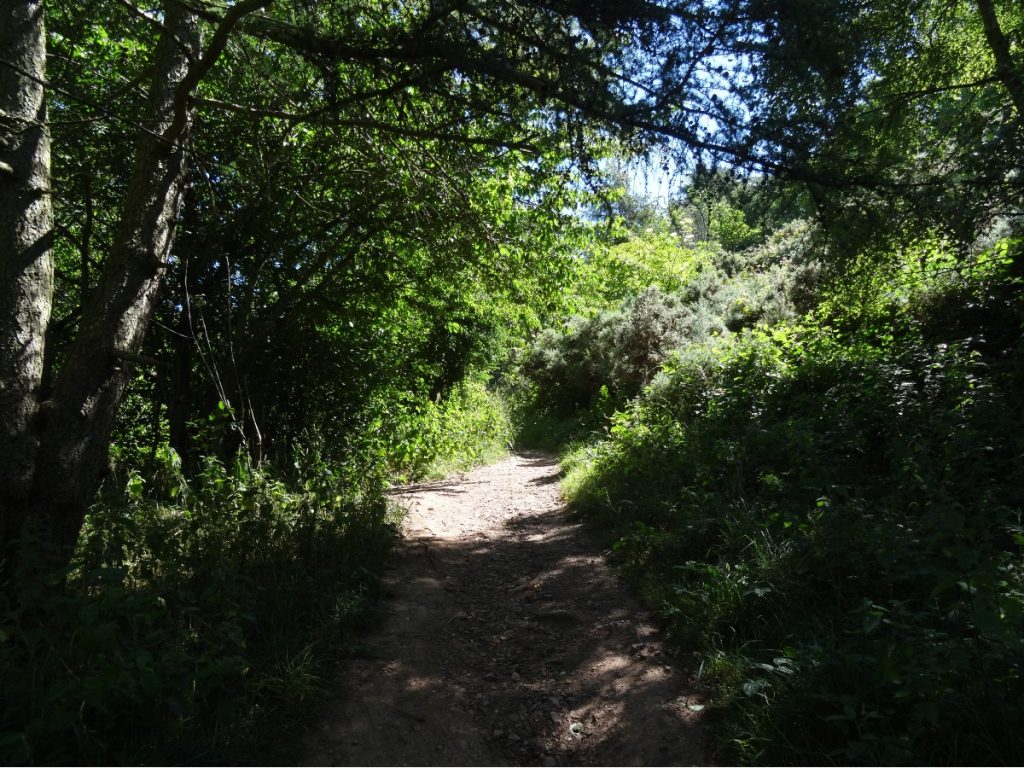
When the narrow path forked, I turned right. I reckon Braid Hill has the best panoramic views of the city… but don’t tell the hordes who converge on Arthur’s Seat that.
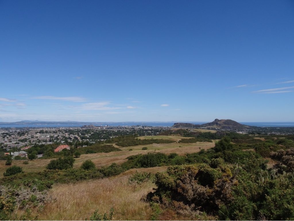
Blackford Hill
After a bite to eat at the top of Braid Hill, I headed N/NE through the gorse and the golf course towards Braid Hills Drive. Be alert for flying golf balls – I happened to be there on the day of a golf competition, which meant there were more golfers converging on one part of the course than there are usually!
I followed the Lang Linn Path into Hermitage of Braid and Blackford Hill Local Nature Reserve. Whether you turn left or right (as I did) at the end is neither here nor there: either route will eventually lead you to the top of Blackford Hill.
Arthur’s Seat
I descended Blackford Hill via Blackford Pond, then followed Charterhall Road towards West Savile Terrace. Blackford and Newington are a bit of a maze to me, as I don’t know this part of town so well, so I wiggled up Mayfield Road (via Tesco Express for a Lipton Peach Ice Tea), along Salisbury Road, past the Royal Commonwealth Pool and into Holyrood Park. There may well be a more direct route.
There are various routes up Arthur’s Seat. On this occasion I turned right onto Queen’s Drive, took the footpath off to the left and then turned onto the second path on the right to ascend via Crow Hill.
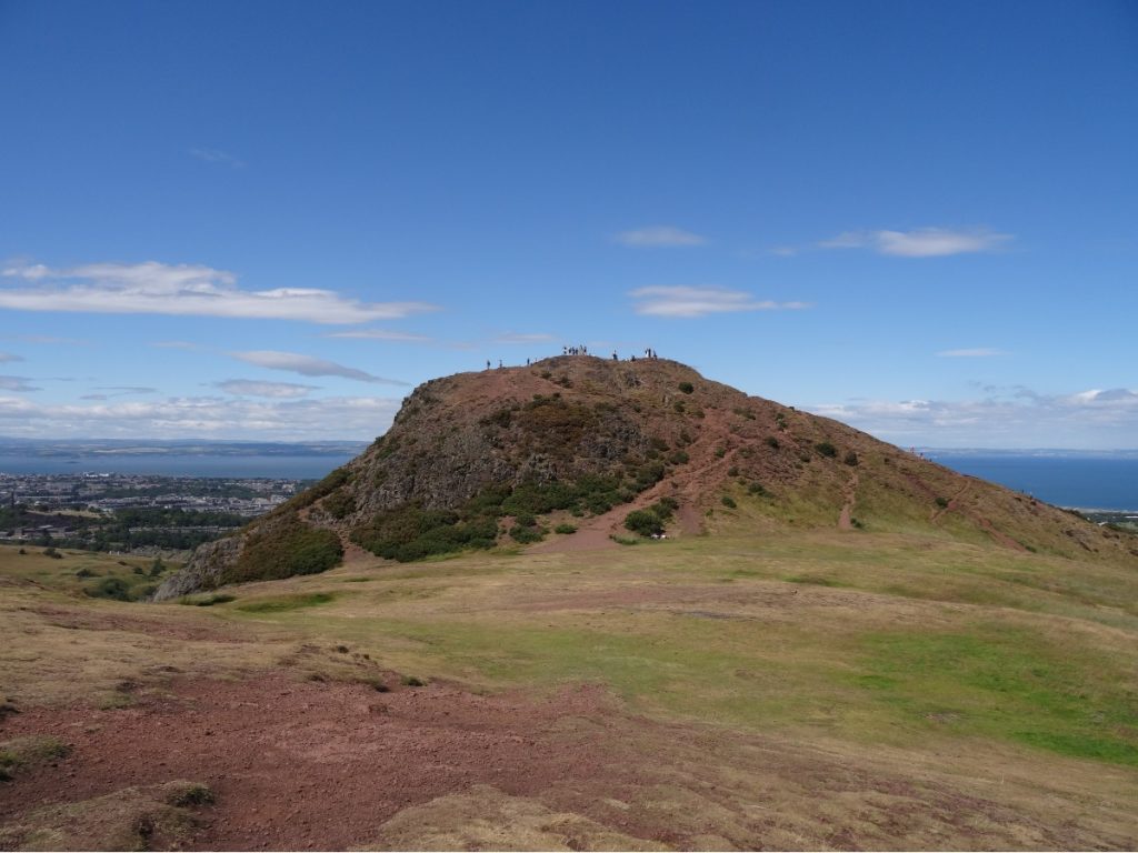
As is always the case on a bright, sunny day, there were lots of people at the top, so I stayed just long enough to take a couple of photos and then made my way down to Holyrood Gate.
Calton Hill
I didn’t take the most direct route to Calton Hill, as a detour via the University of Edinburgh’s Holyrood Campus (where I did my PGDE) would enable me to fill my water bottle up on the way. Bottle filled, I turned left onto Canongate and then turned right onto New Street, which links up with Calton Road. Had I clocked them at the time, I could have taken the steps via Jacob’s Ladder to reach Calton Hill… but I didn’t, so I turned left onto Calton Road and then right onto Calton Hill (a street which shares its name with the hill). From here, it was only a short walk to the top of Calton Hill.
Calton Hill is perhaps the ultimate low-effort, high-reward hill. There are various monuments scattered across it, from the Nelson Monument to the iconic Dugald Stewart Monument and the National Monument of Scotland.
Castle Rock
One last hill: Castle Rock. I passed a few of the Giraffe About Town sculptures on my way along Princes Street and over North Bridge, and was rewarded with zero views from Castle Rock due to the seating installed for the Royal Edinburgh Military Tattoo. As I’d had views from six of the seven hills (and had seen the view from Castle Rock numerous times before) this didn’t put a dampener on the day. I made a detour via McDonald’s for a Smarties McFlurry, and then walked the three miles or so home along the A8.
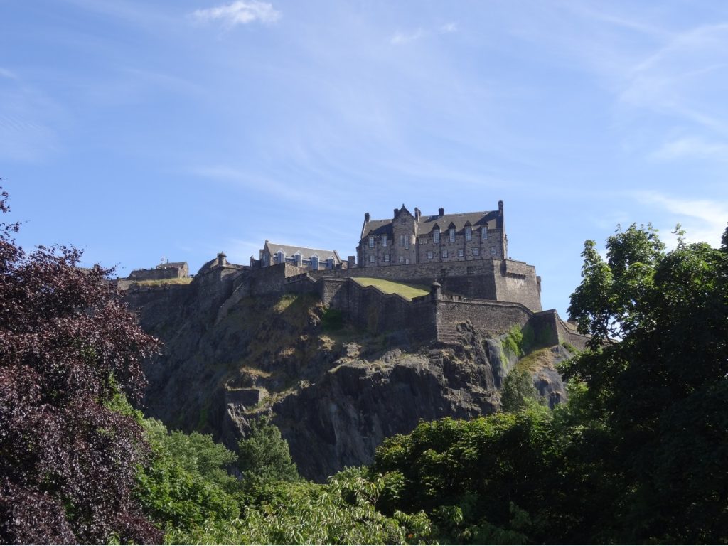
Would I recommend it? Absolutely. Would I do it again? Probably not.
KNOW BEFORE YOU GO
- Maps and guides | There’s no official route per se, but I found the rough guide outlined at www.seven-hills.org.uk/course.asp a helpful starting point.
- Distance | 30.9km/ 19.3 miles; 847m of elevation gain. Note: I didn’t succeed in finding the optimal route (which is said to be c. 14 miles), so if you did then this would be a fair bit shorter. You’ll want a reasonably early start; this took me the best part of eight hours (including photo stops and a detour to Aldi for sunblock).
- Misc. | Wear comfortable shoes, as this route includes both pavements and woodland trails. Pack plenty of water and snacks: sections of the route pass through residential areas with little in the way of amenities.